What is recorded here
Five stones once crowded that coast field, three still standing while two vanished before memory faded. The line they drew cut east and west across the land like a ruler laid by an impatient hand. Perhaps they marked a boundary, a path or a warning to boats approaching the shore. Whatever they measured, the sea and time have erased the answer, leaving only stones to argue with silence.
"To the east of the cromlech (CO151-018---) is a standing stone (CO142-098---) and almost directly in line in the opposite direction is another (CO151-017---). A third used to stand a little further off, north of the nearby road" (Roberts 1988). Unable to locate.
The above description is derived from the published 'Archaeological Inventory of County Cork. Volume 1: West Cork' (Dublin: Stationery Office, 1992). In certain instances the entries have been revised and updated in the light of recent research.
Date of upload/revision: 14 January 2009
The monument record does not grant public access. Check the route and ask the landowner before entering private land.
- What survives
- Recorded monument
Places near here
 Drishane Housecountry house · 343 yd
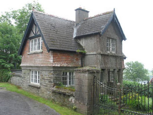 Glen Barrahanegate lodge · 463 yd
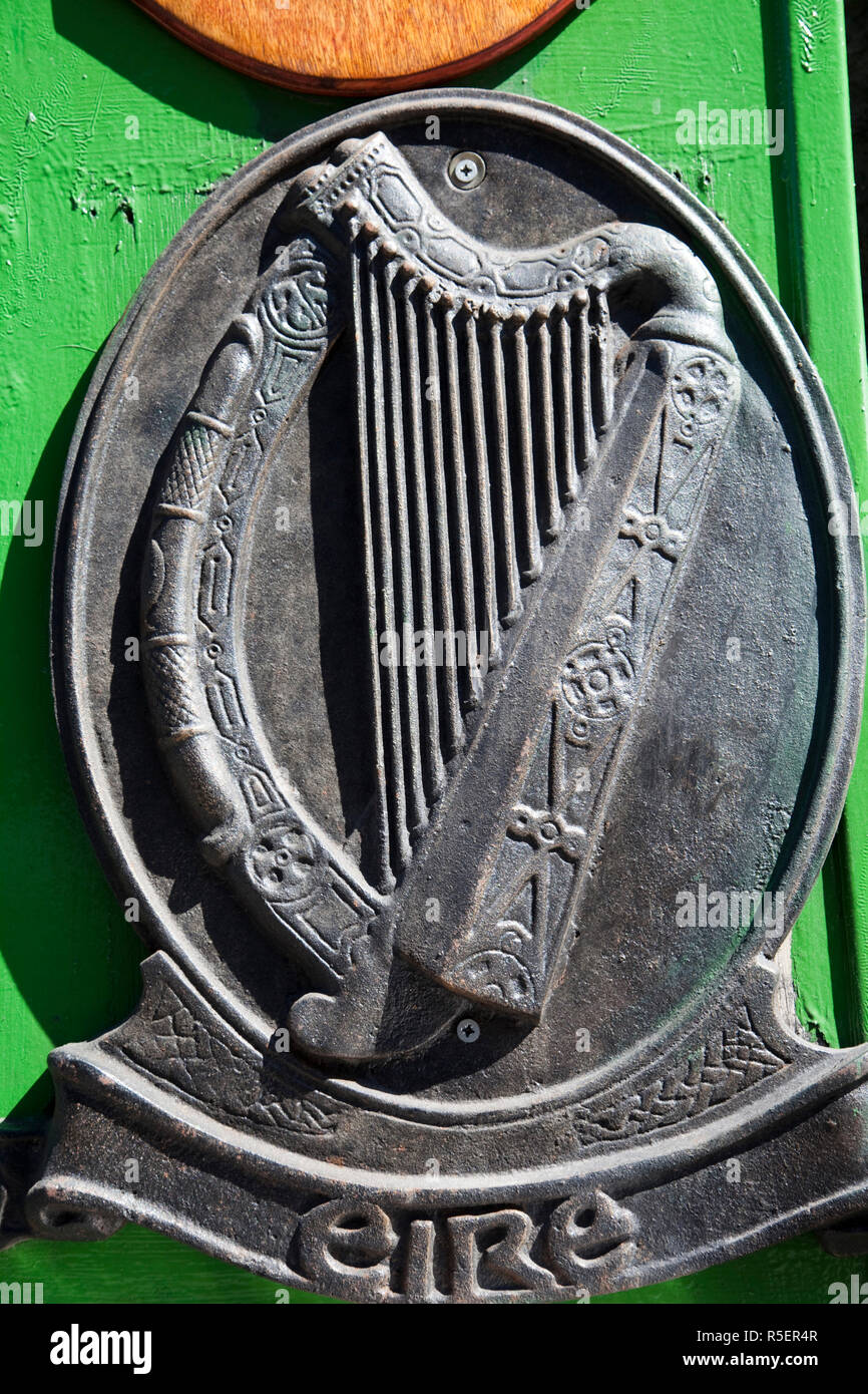 The Irish RM PlaqueMemorial · 467 yd
 Battle of CastlehavenMemorial · 493 yd
 Keil Burial Gd (Disused)Burial ground · 648 yd
 IndicatedFairy fort / stone ringfort · 678 yd
 CuaisínBeach / strand · 711 yd
 SycamoreSycamore · 859 yd
 Castlehaven StrandBeach / strand · 872 yd
 Castlehaven CastleCastle · 910 yd
 Carraig ThrounceMountain / peak · 972 yd
 Bayard Warren PlaqueMemorial · 995 yd