What is recorded here
Dough, Ireland: A thin standing stone, two metres tall, leans slightly east in a flat field of rushes. A small stone sits at its base, and a ringfort waits one hundred metres to the southwest. The ridge above watches the stone, while the stone watches the field below.
In a flat field of rushes overlooked by a ridge to N. A flat, thin standing stone (max. H 2.05m; Wth c. 0.4m; T c. 0.15m ) oriented NE-SW. The top slopes and is slightly higher at the NE end. The stone leans slightly to the SE. In 2003 a small set stone was noted at the base. A ringfort (CL056-044----) is c. 110m to the SW.
The following images have been uploaded:
CL056-102----_01.jpg View of W face of standing stone.
CL056-102----_02.jpg View of slim N side. Stone leaning to E.
Compiled by: Mary Tunney
Date of upload: 9 April 2019
The monument record does not grant public access. Check the route and ask the landowner before entering private land.
- What survives
- Recorded monument
Places near here
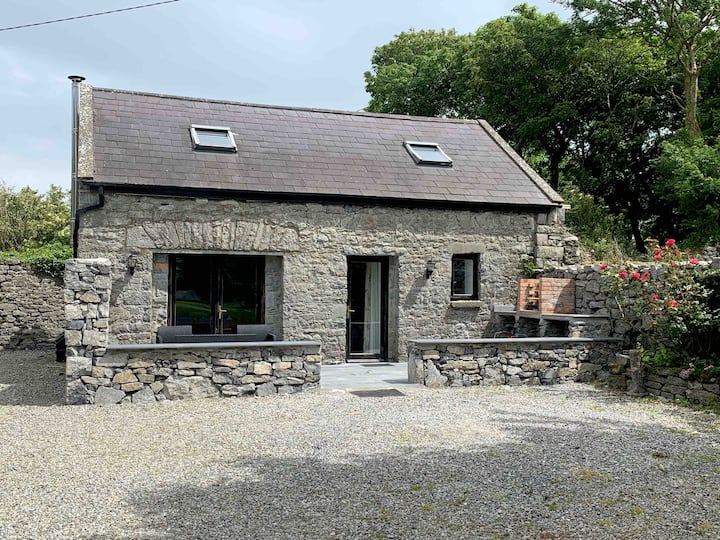 LisnaleagaunFairy fort / earthen ringfort · 154 yd
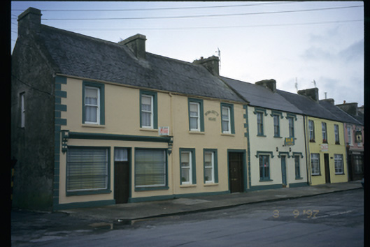 Bernadette Househouse · 735 yd
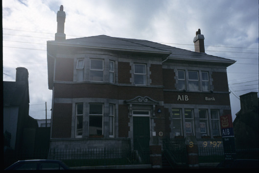 Allied Irish Bankbank/financial institution · 894 yd
 LisluinaghanFairy fort / earthen ringfort · 1480 yd
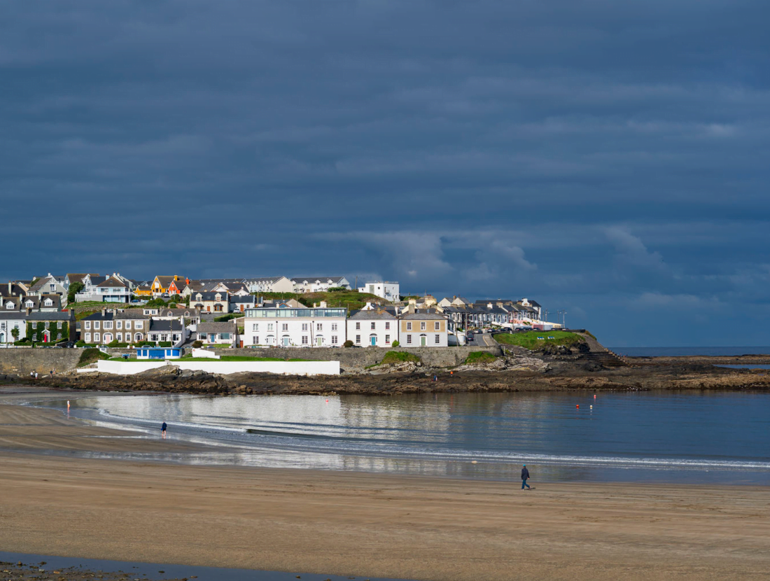 Castle (Site of)Castle, tower house · 1640 yd
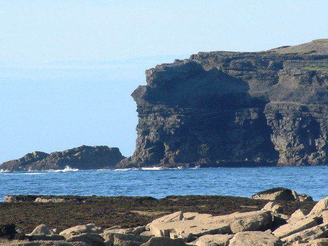 George's HeadHeadland · 1.1 mi
 Diamond RockHeritage attraction · 1.1 mi
 Kilkee CliffsViewpoint · 1.7 mi
 Knockroe PointHeadland · 1.7 mi
 IllaunawhillaIslet · 2.0 mi
 Bishop's IslandIslet · 2.4 mi
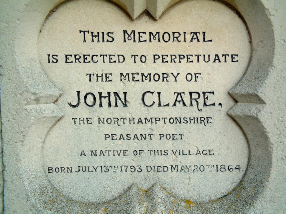 Memorial PlaqueMemorial · 4.0 mi