What is recorded here
Derrynacaheragh holds a leaning stone that narrows to a rounded top, pointing east-west across a level field beside the Garrown River. It stands in open pasture rather than buried ruin, visible from a distance and easy to reach. The stone may have marked a boundary, a meeting place or a memory, but its shape still performs that old human act of giving a point in the landscape where attention can gather.
In a level pasture field surrounded by an undulating countryside, to the E of the Garrown River. This standing stone (1.75m x 0.7m; H 1.25m) narrows as it rises to a rounded top and is orientated ESE-WNW. The stone leans slightly to the N.
The above description is derived from 'The Archaeological Inventory of County Cork. Volume 5' (Dublin: Stationery Office, 2009).
Date of upload: 22 December 2009
The monument record does not grant public access. Check the route and ask the landowner before entering private land.
- What survives
- Recorded monument
Places near here
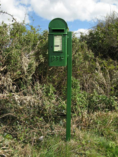 post boxpost box · 56 yd
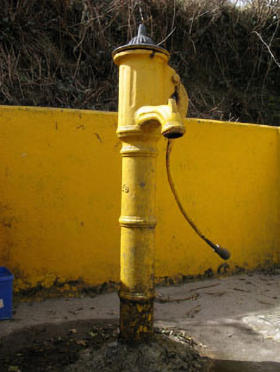 water pumpwater pump · 356 yd
 Wedge tomb in KeenrathWedge tomb · 1029 yd
 Man-made underground passage in KeenrathMan-made underground passage · 1258 yd
 Togher CastleCastle, tower house · 1502 yd
 Funmanway Adventure LandHeritage attraction · 2.5 mi
 Mount GunneryMountain / peak · 2.6 mi
 Pookeen North TopMountain / peak · 3.2 mi
 Castle (Site of)Castle, Anglo-Norman masonry castle · 3.2 mi
 Dunmanway Heritage CentreVisitor information · 3.3 mi
 Graveyard in Dunmanway NorthGraveyard · 3.4 mi
 Gortnahoughtee Mass RockNamed rock · 3.6 mi