What is recorded here
Derreenataggart East holds a narrow standing stone on the SE foothills of Miskish Mountain, rising 1.17m through blanket bog and rough grazing. It points north-south, less wide at the top than at the base, as if shaped by age or intention. Another stone waits seventy metres to the southwest, and a faint old field boundary lies thirty metres north, suggesting people once moved through this upland place with purpose.
In rough upland grazing, on a mantle of blanket bog, on a SE-facing slope on the SE foothills of Miskish Mountain. This standing stone (1.07m x 0.6m; H 1.17m) is irregular in plan and section and is orientated N-S. The standing stone narrows in thickness and width as it rises to the top. There is a relict field boundary (CO115-120001-) c. 30m to the N and another standing stone (CO115-117----) is situated c. 70m to the SW.
The above description is derived from 'The Archaeological Inventory of County Cork. Volume 5' (Dublin: Stationery Office, 2009).
Date of upload: 22 December 2009
Likely dating to the Neolithic or Bronze Age, this standing stone may have had ritual or territorial significance, possibly linked to early farming communities or landscape marking. No specific folklore or detailed use is recorded for this site.
The monument record does not grant public access. Check the route and ask the landowner before entering private land.
- What survives
- Recorded monument
Places near here
 Burnt mound in Derreenataggart EastBurnt mound · 143 yd
 Boulder-burial in Derreenataggart EastBoulder-burial · 363 yd
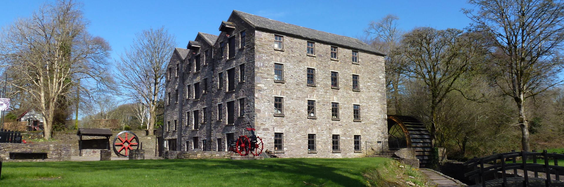 Tuck MillMill, fulling · 735 yd
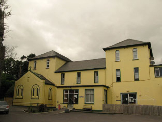 Harbour Lodgeconvent/nunnery · 1233 yd
 Berehaven Battalion MemorialMemorial · 1315 yd
 Sarah Walker GalleryGallery · 1349 yd
 Dinish IslandIslet · 1.2 mi
 Eagle HillMountain / peak · 1.4 mi
 Sheep IslandsIslet · 1.6 mi
 Castle (in Ruins)Castle, tower house · 1.8 mi
 Miskish MountainMountain / peak · 1.8 mi
 Siege of Dunboysiege · 1.8 mi