What is recorded here
Crislaghkeel holds a 1.93m stone, wide enough to block a doorway and thick enough to resist forgetting. It stands in pasture beside a river valley, neither hidden nor displayed, but present like a resident who stopped speaking years ago. The NE-SW tilt suggests it was placed, not dropped, and the north-side location implies someone chose visibility over convenience. That much is known. The rest belongs to the valley: rain on its edge, grass at its foot, and the quiet certainty that it was never decoration.
A standing stone 1.93m high × 1.24m wide × c. 0.55m thick; NE-SW. Situated in pasture land on the N side of a river valley.
The above description was derived from the 'Archaeological Survey of County Donegal. A description of the field antiquities of the County from the Mesolithic Period to the 17th century.' Compiled by: Brian Lacey with Eamon Cody, Claire Cotter, Judy Cuppage, Noel Dunne, Vincent Hurley, Celie O'Rahilly, Paul Walsh and Seán Ó Nualláin (Lifford: Donegal County Council, 1983). In certain instances the entries have been revised and updated.
Date of upload: 22 September 2008
Likely dating to the Bronze Age (c. 2000–500 BCE), the stone may have functioned as a territorial marker, ritual monument, or astronomical alignment. No specific folklore or inscriptions are recorded for this site.
The monument record does not grant public access. Check the route and ask the landowner before entering private land.
- What survives
- Recorded monument
Places near here
 Fahan Catholic Churchchurch/chapel · 1552 yd
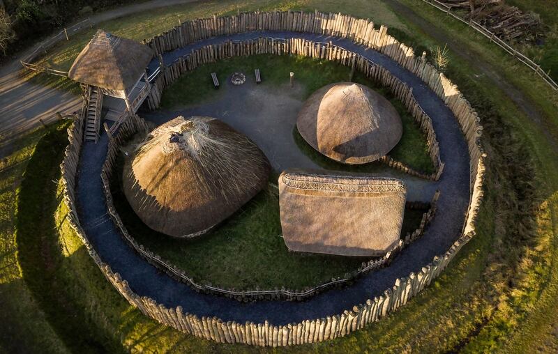 Fairy fort / ringfort in Castlequarter (fahan Ed)Fairy fort / ringfort · 1599 yd
 Cashel HillMountain / peak · 1734 yd
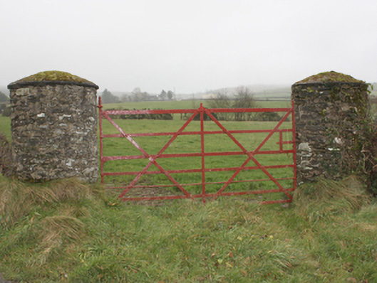 gates/railings/wallsgates/railings/walls · 1.5 mi
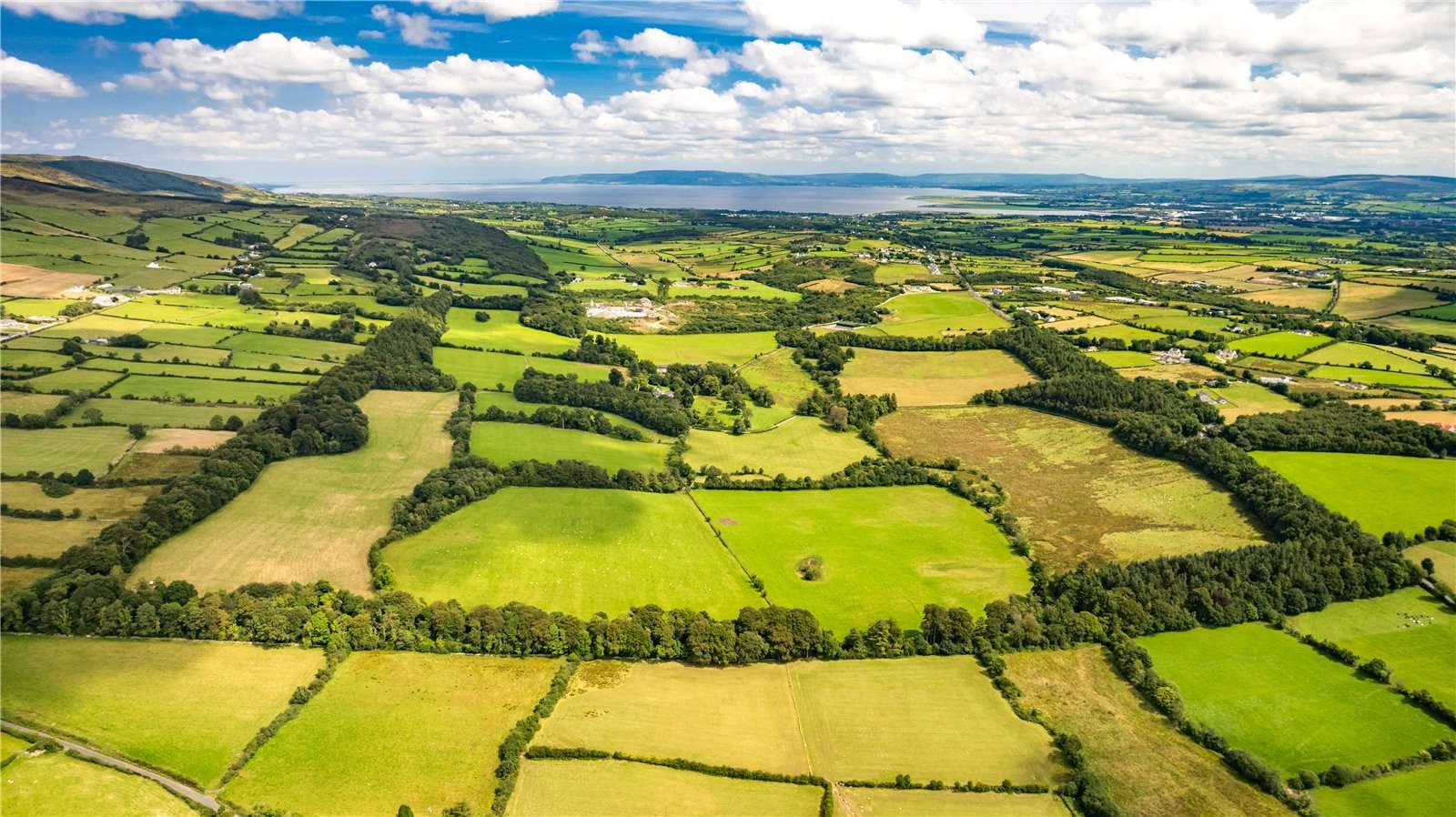 Former Garvary EnclosureEnclosure · 1.6 mi
 Bawn in An Machaire Beag (tc Fathain)Bawn · 1.8 mi
 Scalp MountainMountain / peak · 1.9 mi
 Mass RockNamed rock · 2.3 mi
 LisfannonOfficial bathing water · 2.9 mi
 Brown’s PointHeadland · 3.1 mi
 Lackan ForestForest · 3.2 mi
 InchIsland · 3.5 mi