What is recorded here
Cousane is a narrow valley where the land still drops into water and memory. The standing stone is not a monument to a named king or a forgotten war. It is a marker, a boundary, a place where people stood before they left. The valley is narrow enough to make that presence visible.
In rough grazing, on the S side of a ridge with views W along a valley. This standing stone (0.45m x 0.2m; H 1.22m) is rectangular in plan and section and is orientated E-W. A scatter of loose stones, obscured by ferns, lies c. 4m to the SE.
The above description is derived from 'The Archaeological Inventory of County Cork. Volume 5' (Dublin: Stationery Office, 2009).
Date of upload: 22 December 2009
Likely dating to the Neolithic or Bronze Age, this standing stone may have had ceremonial or territorial significance. Its orientation and location suggest a possible alignment with solar or landscape features, though specific folklore or use remains unrecorded.
The monument record does not grant public access. Check the route and ask the landowner before entering private land.
- What survives
- Recorded monument
Places near here
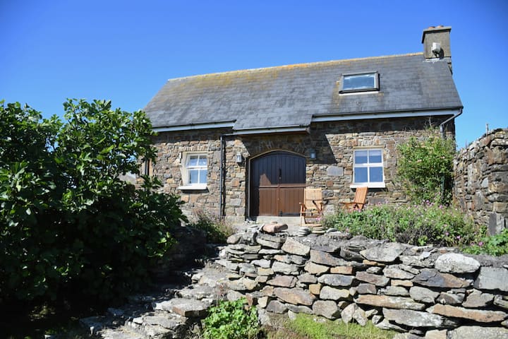 Hut site in CousaneHut site · 129 yd
 Field boundary in CoomcloghField boundary · 276 yd
 Quarry in GlanycarneyQuarry · 1.1 mi
 Shehy MoreMountain / peak · 1.6 mi
 Douce MountainMountain / peak · 2.1 mi
 St Finbarr's Pilgrim RouteWalking route · 3.0 mi
 Coolmountain Schoolschool · 3.5 mi
 Togher CastleCastle, tower house · 3.9 mi
 Gortnahoughtee Mass RockNamed rock · 4.6 mi
 Kealkill stone circleVisitor information · 5.2 mi
 Gougane BarraValley and heritage place · 5.4 mi
 Carriganass CastleCastle · 5.4 mi