What is recorded here
On a relatively steep E-facing slope of mountain bog, recently planted with conifers. A granite stone (max. H 2.35m; Wth 1.5m; T 0.32m), with a rectangular cross-section and a N-S long axis. The stone is skirted by a drain ESE-WNW exposing the base of the NE angle.
Compiled by: Matt Kelleher
Date of upload: 15 January 2013
Likely dating to the Late Neolithic or Bronze Age, this standing stone may have had ritual or territorial significance, possibly aligned with solar or seasonal markers. Local folklore sometimes associates such stones with ancient guardians or memorials for lost warriors.
The monument record does not grant public access. Check the route and ask the landowner before entering private land.
- What survives
- Recorded monument
Places near here
 LobawnMountain / peak · 1.2 mi
 PinnacleMountain / peak · 1.4 mi
 Hollywood Horse and Pony TrekkingHeritage attraction · 1.8 mi
 Enclosure in ToorEnclosure · 1.8 mi
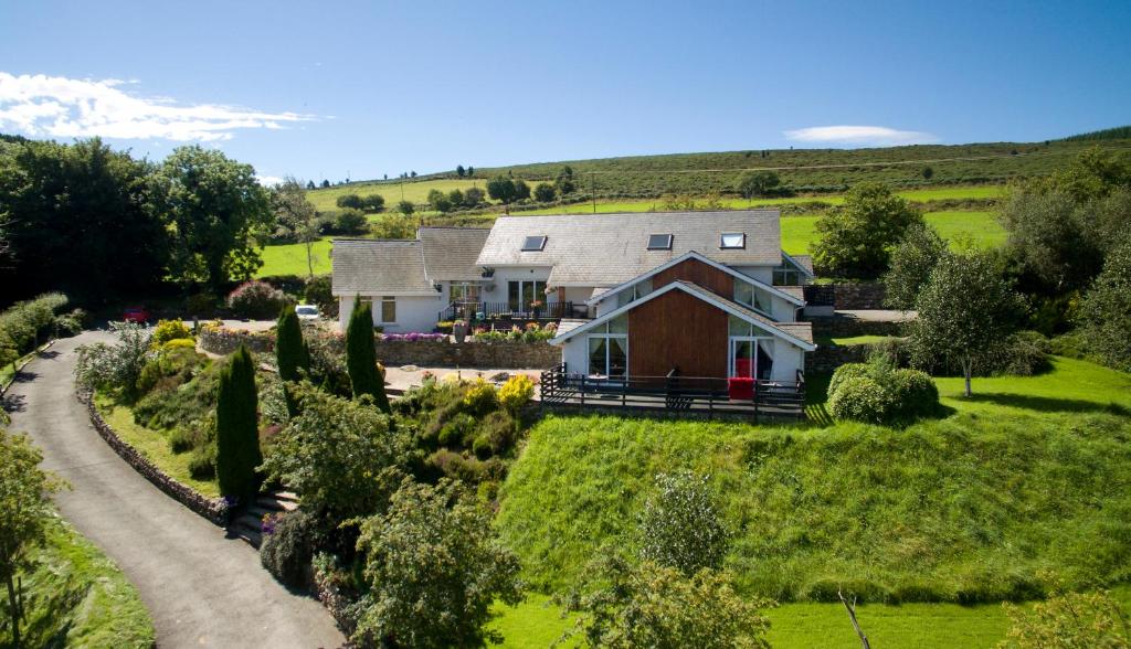 Toor LodgeRuins · 2.1 mi
 Enclosure in Kilbaylet LowerEnclosure · 2.2 mi
 Pedunculate OakPedunculate Oak · 2.8 mi
 Catholic Church of the Holy Trinitychurch/chapel · 2.9 mi
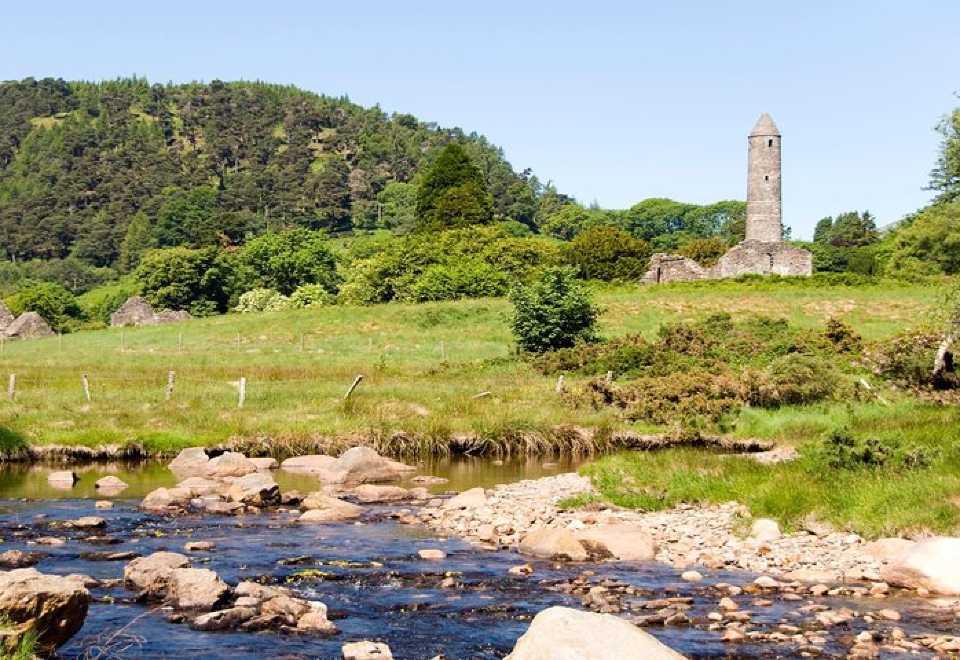 Ball MoatCastle, motte · 3.1 mi
 Artillery MemorialMemorial · 3.5 mi
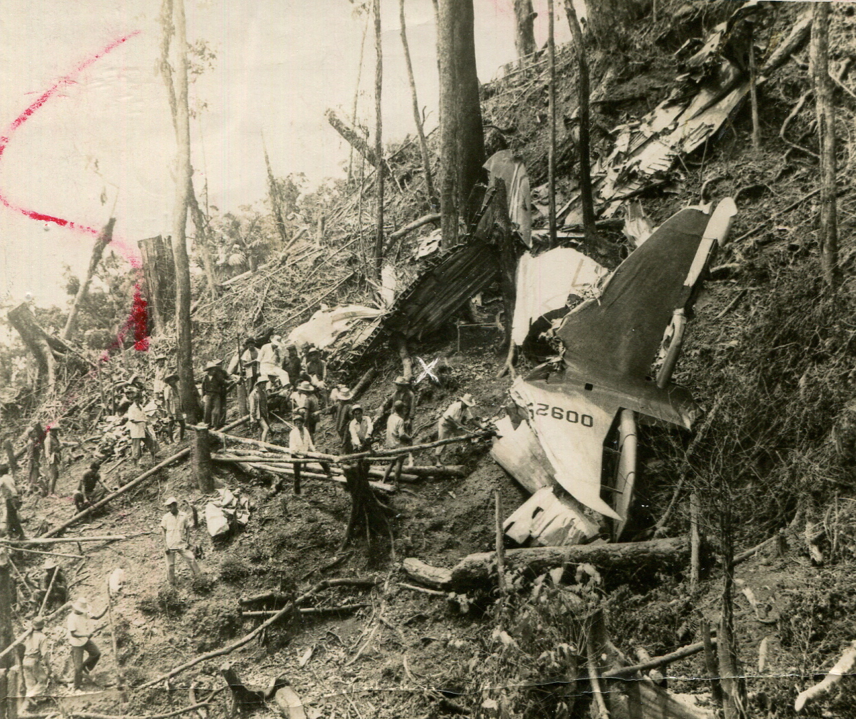 Provost Crash Site - March 7th 1957Memorial · 3.6 mi
 Seskin Ho. in ruinsHouse, fortified house · 3.7 mi