What is recorded here
Cois Chomarach holds a squat stone .95m high on a low hill above the Cummeragh river, visible only to someone walking the pasture rather than reading a map. Its NE-SW tilt and tapering form suggest deliberate placement, yet no name or date survives to confirm whose hands set it. The absence of recognition does not diminish the act of standing before it; it preserves the clarity of a marker made for people already moving through that landscape.
This squat standing stone is located in pastureland SW Of Derriana Lough, on a low hill overlooking the Cummeragh river. Not indicated on the OS maps, it stands .95m high and tapers in width from .9m at base to .6m at top. It measures .35m in basal thickness, and is orientated NE-SW on its longer axis.
The above description is derived from A. O'Sullivan and J. Sheehan (compilers), 'The Iveragh peninsula: an archaeological survey of South Kerry'. Cork University Press (1996), no. 157. In certain instances the entries have been revised and updated in the light of recent research.
Date of upload: 28 July 2013
Likely dating to the Neolithic or Bronze Age, this standing stone may have functioned as a territorial marker, ritual monument, or astronomical alignment feature. No specific folklore or detailed local tradition is recorded for the site.
The monument record does not grant public access. Check the route and ask the landowner before entering private land.
- What survives
- Recorded monument
Places near here
 Cave (Site of)Man-made underground passage · 71 yd
 Cultivation ridges in Cois ChomarachCultivation ridges · 229 yd
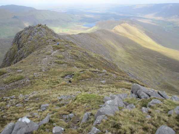 An Bhinn LáirMountain / peak · 2.2 mi
 Beann na StiocairíMountain / peak · 2.7 mi
 Scoil Náisiúnta Máistir Gaoithe [Mastergeehy National School]school · 2.7 mi
 Dromod Church (in Ruins)Church · 4.1 mi
 An PlaoscHeadland · 4.9 mi
 2Cliff · 5.0 mi
 Short Castle (Site of)Castle, unclassified · 5.9 mi
 CastleCastle, tower house · 6.7 mi
 De Gaulle MemorialMonument · 6.8 mi
 Sneem Commemoration PlaqueMemorial · 6.9 mi