What is recorded here
On a gentle W-facing slope of average grazing land with occasional granite outcrops on the lower slopes of Camarahill and overlooking the Little Slaney River which flows nearby to the E. Good views of Keadeen to the SW, as well as Brusselstown Ring to the W, and also of the Sugarloaf and Lobawn to the N. A low, granite slab tapering towards the top (H 1.02m; Wth at base 0.92m; T 0.2m) orientated N-S. The E face is flat while the W face is more rounded. A second standing stone (WI022-030----) stands c. 130m to the N.
Compiled by: Gearóid Conroy and Mary Tunney
Date of upload: 17 December 2012
The monument record does not grant public access. Check the route and ask the landowner before entering private land.
- What survives
- Recorded monument
Places near here
 Michael Dwyer MemorialMemorial · 1.1 mi
 Dwyer McAllister CottageMuseum · 1.2 mi
 Dwyer-McAllister Cottagefarm house · 1.2 mi
 Seskin Ho. in ruinsHouse, fortified house · 1.3 mi
 Artillery MemorialMemorial · 1.4 mi
 Font in LeitrimFont · 1.4 mi
 Ballineddan MountainMountain / peak · 1.4 mi
 SlievereaghMountain / peak · 1.5 mi
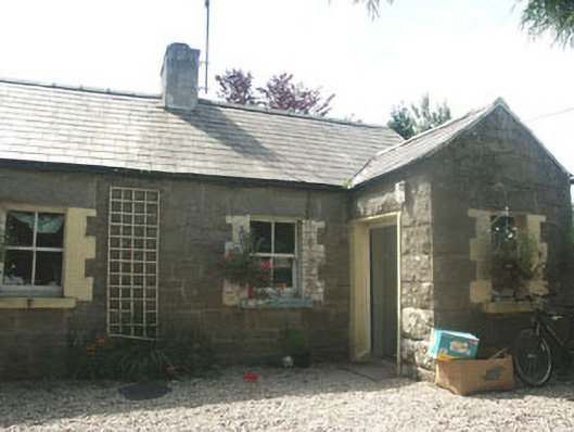 Parnell Cottageworker's house · 1.5 mi
 IndicatedFairy fort / earthen ringfort · 1.6 mi
 The Black StairsNamed rock · 2.6 mi
 The Back MotteNamed rock · 2.8 mi