What is recorded here
That is the origin of the name Cnoc An Stollaire, the Knoll of the Staller, where the stone still stands between lough and river. It rises 1.9m from a rocky knoll, almost square and broad enough at the base to catch a shadow across the water. People may have set it there to mark the boundary between two living things, the quiet lough and the moving river, or simply to give the eye a fixed point in open sky.
'Cloghastoller' is a standing stone, almost square in plan, and 1.9m high × 0.55m maximum width at base. Situated on a prominent rocky knoll between Knockastoller Lough to the N and the Gweedore river to the S.
The above description was derived from the 'Archaeological Survey of County Donegal. A description of the field antiquities of the County from the Mesolithic Period to the 17th century.' Compiled by: Brian Lacey with Eamon Cody, Claire Cotter, Judy Cuppage, Noel Dunne, Vincent Hurley, Celie O'Rahilly, Paul Walsh and Seán Ó Nualláin (Lifford: Donegal County Council, 1983). In certain instances the entries have been revised and updated.
Date of upload: 22 September 2008
The monument record does not grant public access. Check the route and ask the landowner before entering private land.
- What survives
- Recorded monument
Places near here
 Holy well in Rann Na FeirsteHoly well · 1.1 mi
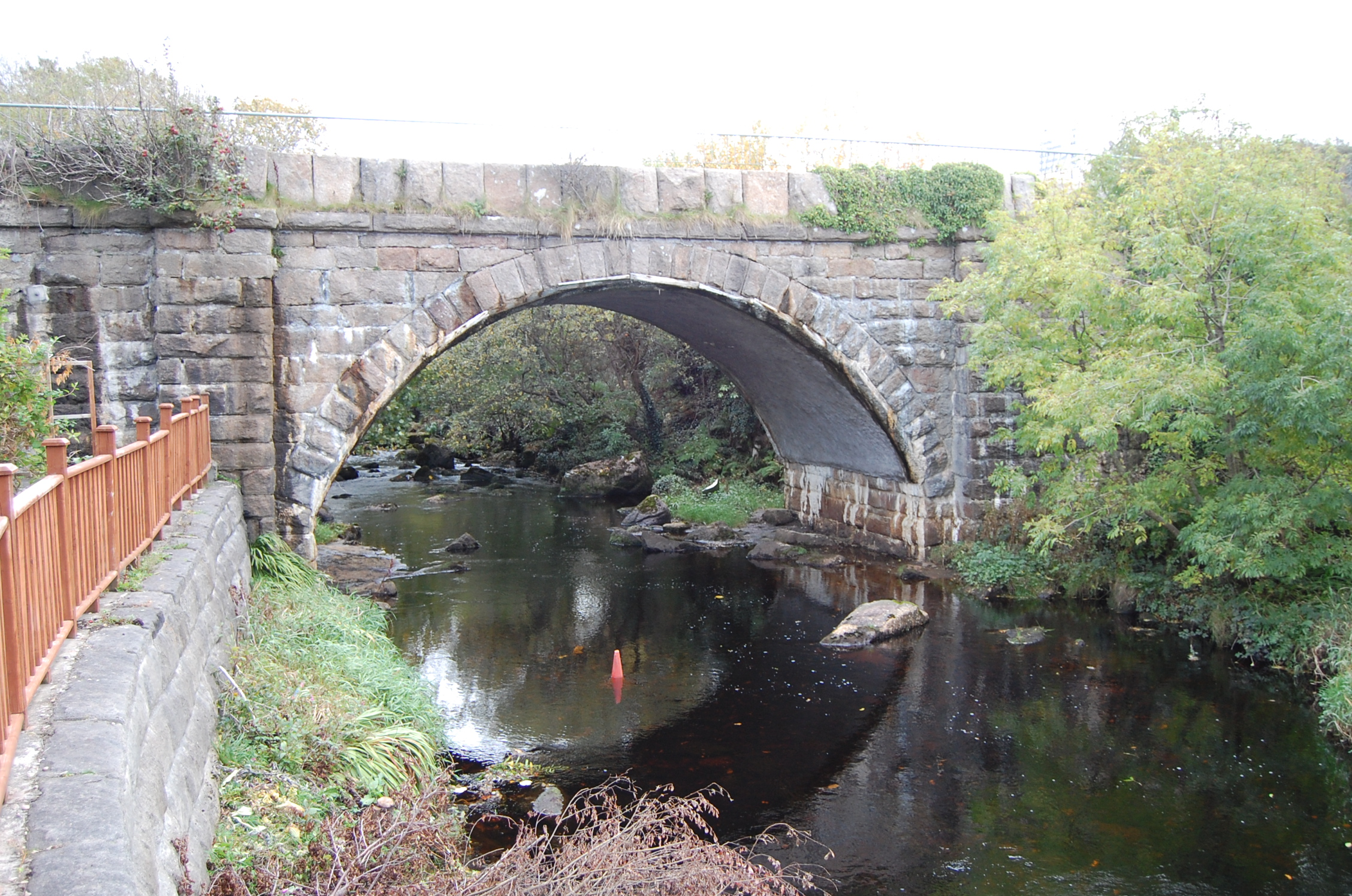 Droichead na Cláidí [Clady Bridge]bridge · 1.2 mi
 Saint Patrick's Church (Tullaghobegly)church/chapel · 1.3 mi
 Braade StrandBeach / strand · 1.8 mi
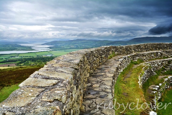 Annagry Stone RingfortFairy fort / stone ringfort · 2.1 mi
 Trá Dún MórBeach / strand · 2.3 mi
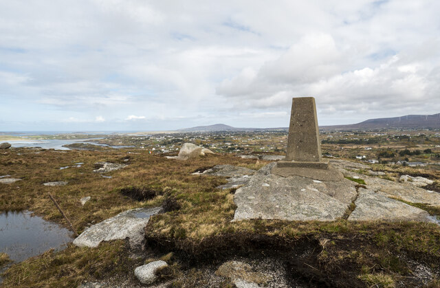 Annagary HillMountain / peak · 2.4 mi
 CarrickfinnOfficial bathing water · 2.4 mi
 An tOileán CarrachIslet · 3.0 mi
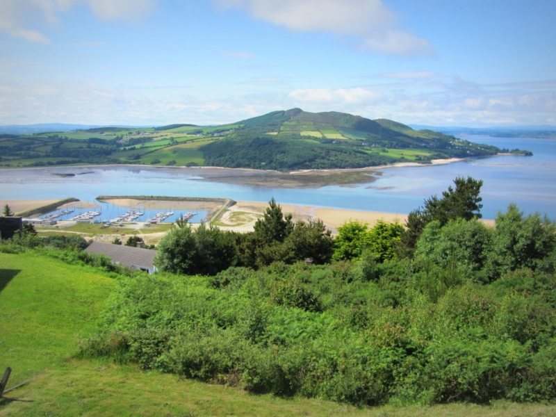 Allagh IslandIslet · 4.1 mi
 Rinnalea Point / Na Reanna LiathaHeadland · 4.2 mi
 Main WallCliff · 4.8 mi