What is recorded here
Standing stone in Cloontreem is a small NE-SW stone in rough pasture above the southwest coast, facing Castletownbere, Berehaven Harbour and the Miskish Mountains. It rises less than a metre from the bog, irregular and broken on one face, like a mark left behind rather than a monument built to be admired. People may have set it where the land could be read at a glance, or it may have simply survived the taking-away that removed everything else.
In rough pasture, on a terrace on a SW-facing hillslope with a view S-W to Castletownbere and Berehaven Harbour and the Miskish Mountains. This standing stone (0.6m x 0.3m; H 0.9m), which protrudes above the surface of the bog, is irregular in plan and is orientated NE-SW. The upper portion of the NW face of the stone has broken off.
The above description is derived from 'The Archaeological Inventory of County Cork. Volume 5' (Dublin: Stationery Office, 2009).
Date of upload: 22 December 2009
Probably dating to the Late Neolithic or Bronze Age, this standing stone may have had ritual or territorial significance, possibly aligning with landscape features visible to the south-west. Local folklore sometimes associates such stones with ancient watchposts or memorials.
The monument record does not grant public access. Check the route and ask the landowner before entering private land.
- What survives
- Recorded monument
Places near here
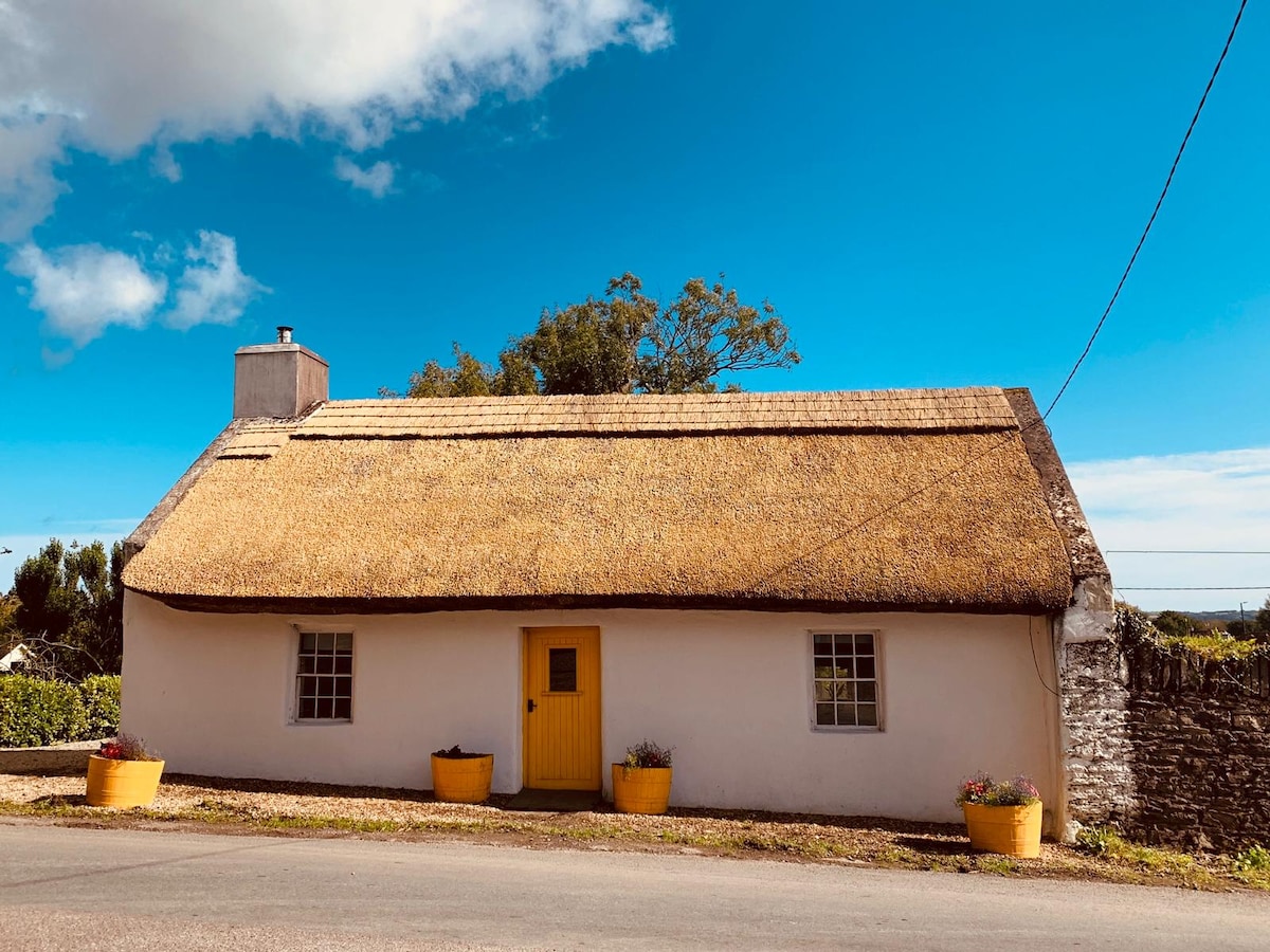 Hut site in CloontreemHut site · 437 yd
 Field boundary in CloontreemField boundary · 554 yd
 Eagle HillMountain / peak · 1061 yd
 Aghakista BrBridge · 1585 yd
 Tuck Mill (Disused)Mill, fulling · 1635 yd
 Beara WayWalking route · 1.3 mi
 Berehaven Battalion MemorialMemorial · 1.3 mi
 Dinish IslandIslet · 1.4 mi
 Sarah Walker GalleryGallery · 1.4 mi
 Minane IslandIslet · 1.5 mi
 Burial ground in DerrycreeveenBurial ground · 2.2 mi
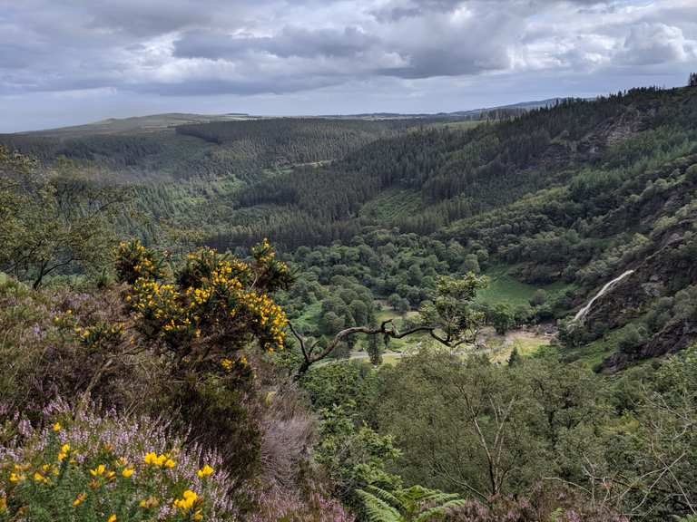 MaulinMountain / peak · 2.3 mi