What is recorded here
In Clontaghnaglar, County Down, a lone standing stone rises from the earth, its age lost in the uncertain depth of the prehistoric period. It has watched the land change for longer than memory can hold, silent and unyielding against the passing of centuries. Perhaps it marked a boundary, a meeting place, or a warning to those who wandered too close in the dark. The stone remains, waiting for someone to listen without speaking.
The official Northern Ireland record identifies this as STANDING STONE. Recorded period: PREHISTORIC; UNCERTAIN. The official map point was placed at the centre of the recorded archaeological site from the source map reference.
The monument record does not grant public access. Check the route and ask the landowner before entering private land.
- What survives
- Recorded monument
Places near here
 ENCLOSURE in AughnadarraghENCLOSURE · 1756 yd
 Glasswater WoodWood · 1.2 mi
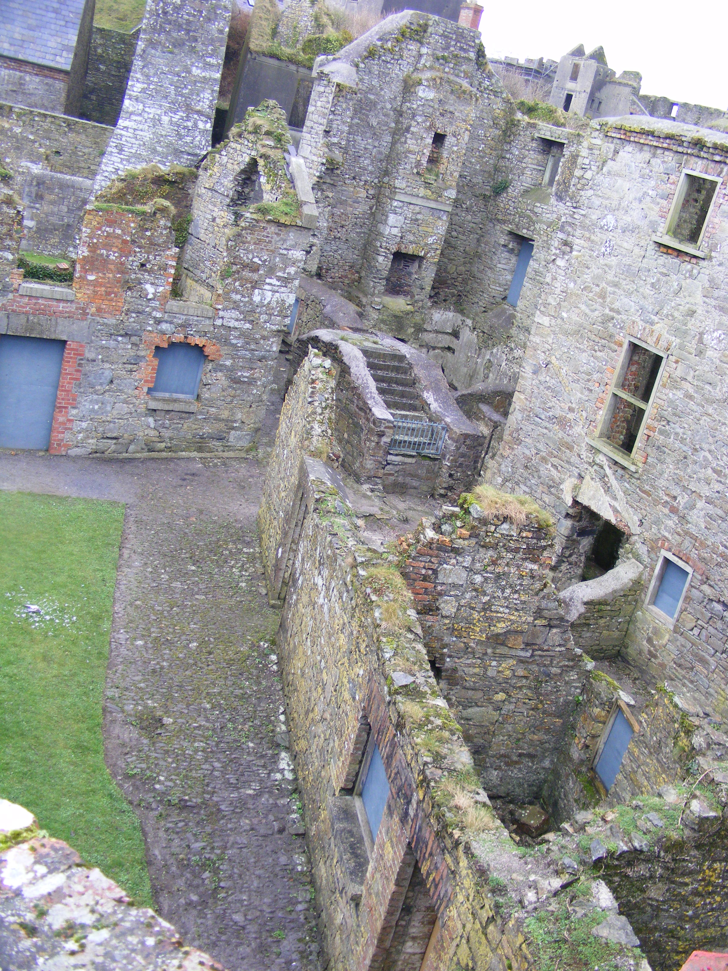 ENCLOSURE: CURLEY'S FORT in BarnamagheryENCLOSURE: CURLEY'S FORT · 1.2 mi
 Raffrey Presbyterian ChurchChurch · 1.4 mi
 Former market houseOffice · 2.3 mi
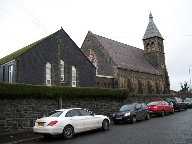 The Square Car ParkVisitor information · 2.3 mi
 Battle of Saintfield (1798)Battlefield · 3.4 mi
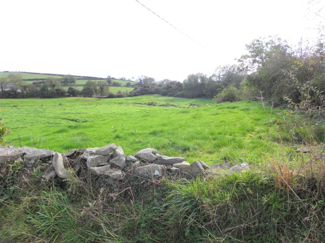 Wallace HillMountain / peak · 3.9 mi
 ShrigleyVisitor information · 4.5 mi
 CASTLE in AnnacloyCASTLE · 4.8 mi
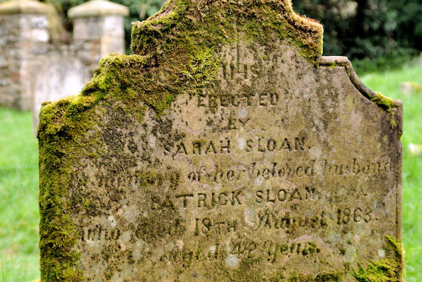 KILLOWEN MEDIEVAL CHURCH (ruined) and GRAVEYARD; with 2 CROSS-CARVED STONES in Corporation (killyleagh)KILLOWEN MEDIEVAL CHURCH (ruined) and GRAVEYARD; with 2 CROSS-CARVED STONES · 5.0 mi
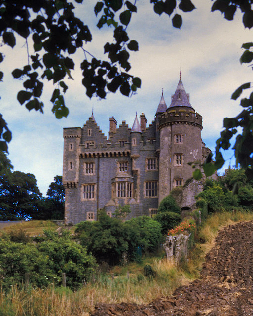 KILLYLEAGH CASTLEKILLYLEAGH CASTLE, multiperiod castle on site of Motte · 5.0 mi