What is recorded here
Dooneen hills never stopped moving people upward. The stone still stands half a metre tall, rectangular and unsteady under sky, large enough to mark a boundary or a memory. It is not a monument built for display; it is a point the land kept visible.
On top of a Dooneen (9188). Stone (H 1.5m; 0.5m x 0.25m) is rectangular in plan, long axis NE-SW.
The above description is derived from the published 'Archaeological Inventory of County Cork. Volume 3: Mid Cork' (Dublin: Stationery Office, 1997). In certain instances the entries have been revised and updated in the light of recent research.
Date of upload/revision: 14 January 2009
Likely dating to the Bronze Age (c. 2500–500 BCE), this standing stone may have functioned as a territorial marker or ceremonial monument. Its alignment and location on a hilltop suggest possible ritual or funerary associations, though specific folklore or use remains unrecorded.
The monument record does not grant public access. Check the route and ask the landowner before entering private land.
- What survives
- Recorded monument
Places near here
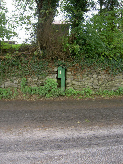 post boxpost box · 378 yd
 Enclosure in Dromore SouthEnclosure · 471 yd
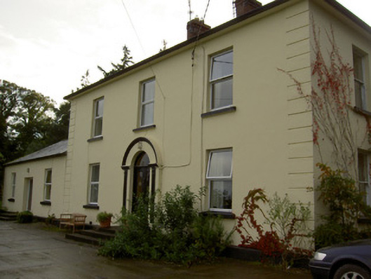 Dromore Househouse · 568 yd
 Man-made underground passage in ClashmorganMan-made underground passage · 672 yd
 Castle Barrett (in Ruins)Castle, Anglo-Norman masonry castle · 884 yd
 Castle BarrettCastle · 888 yd
 KnockarouraForest · 2.2 mi
 Blackwater WayWalking route · 2.8 mi
 Mallow River TrailVisitor information · 3.2 mi
 In loving memory of Elvis O'DonoghueMemorial · 3.3 mi
 Lyradane MountainMountain / peak · 3.9 mi
 Dromaneen CastleHeritage attraction · 4.4 mi