What is recorded here
Marianne and Ciaran walked past the upright slab in Clashaganniv, where sheep grazed beneath a sky full of changing light. Marianne touched its rough face and felt warmth return through her fingers. Ciaran laughed at first, then stood quiet beside her while the Bride River moved below the slope. Neither claimed to understand the stone. Both remembered the touch long after they left the pasture.
In pasture, on a gentle S-facing slope, overlooking the Bride River. This upright slab (1.5m x c. 0.3m; H 1.5m) is a rectangular in plan and section and is orientated E-W. Both faces of the standing stone are rough and pitted.
The above description is derived from 'The Archaeological Inventory of County Cork. Volume 5' (Dublin: Stationery Office, 2009).
Date of upload: 22 December 2009
Likely dating to the Neolithic or Bronze Age, this standing stone may have functioned as a boundary marker, ritual monument, or solar alignment feature. No specific folklore or detailed local tradition is recorded for the site.
The monument record does not grant public access. Check the route and ask the landowner before entering private land.
- What survives
- Recorded monument
Places near here
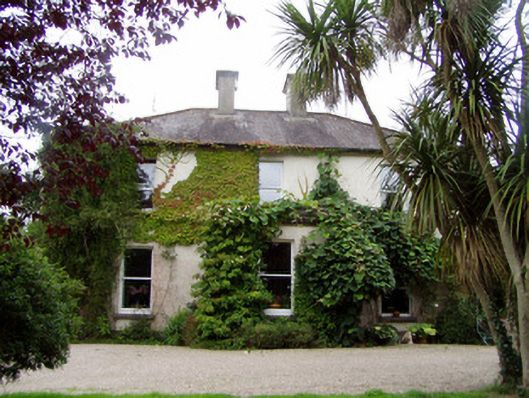 Conna Househouse · 450 yd
 Conna BridgeBridge · 460 yd
 Grave YdGraveyard · 505 yd
 Field system in CooladurraghField system · 865 yd
 Conna Castle (in Ruins)Castle, tower house · 1060 yd
 Conna CastleCastle · 1060 yd
 Castlebrook forestWood · 1537 yd
 Graveyard in Curraheen (kinnatalloon By.)Graveyard · 1.4 mi
 Aghern CemeteryWood · 1.4 mi
 Natural heritage of CoolagowanVisitor information · 3.7 mi
 Life Space ParkPicnic place · 3.7 mi
 Graveyard in KillasseraghGraveyard · 4.1 mi