What is recorded here
The 'Gallaun' marked on the OS maps and described as standing '6 feet (1.8m) high' (OSNB Kilquane, 31) now lies prostrate in the flat, boggy plain drained by the Feohanagh river. It is c. 2m long, .65m wide and .45m thick.
The above description is derived from J. Cuppage, ‘Corca Dhuibhne. Dingle Peninsula archaeological survey. Ballyferriter. Oidhreacht Chorca Dhuibhne’ (1986), no. 120. In certain instances the entries have been revised and updated in the light of recent research.
Date of upload: 4 August 2013
Dated likely to the Late Neolithic or Early Bronze Age (c. 2500–1500 BCE), the stone may have functioned as a boundary marker, ritual monument, or astronomical alignment feature. Local folklore sometimes associates such stones with early Christian or mythical figures, though no specific tradition is recorded for this site.
The monument record does not grant public access. Check the route and ask the landowner before entering private land.
- What survives
- Recorded monument
Places near here
 Cross in Cill ChuáinCross · 683 yd
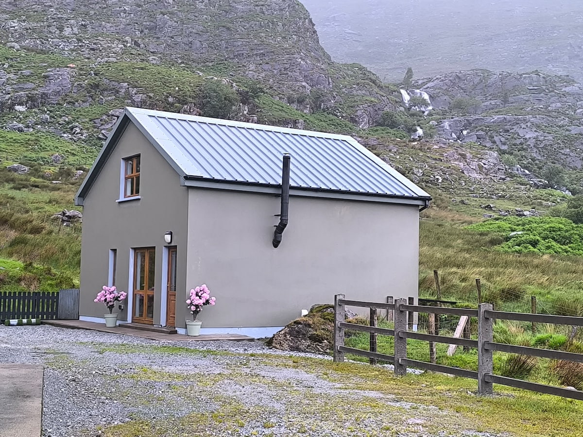 Hut site in An Baile BreacHut site · 781 yd
 Moorestown CastleCastle · 1160 yd
 Saints RoadRoad, road/trackway · 1.1 mi
 Church in Cill ChúileChurch · 1.2 mi
 Brandon CreekViewpoint · 1.8 mi
 Ceann Bhaile DháithMountain / peak · 1.9 mi
 Cúinne an MhionnáinHeadland · 2.1 mi
 Tower (in ruins)Castle, unclassified · 2.5 mi
 Cuan Ard na CaithneBay · 2.8 mi
 Gallarus OratoryHeritage attraction · 2.9 mi
 Binn na mBanMountain / peak · 3.4 mi