What is recorded here
Nine metres west of a fallen two-metre stone, a vertical marker still stands in Cashelisky pasture. It faces north, south and east, watching the land like a sentry that forgot how to leave. People may have set it there to mark a boundary, honour a dead person or simply watch the horizon. The stone never asked permission to remain visible.
In pasture with commanding views to N, S and E. Stone (L 2m; 0.9m x 0.5m) lying on ground. Standing stone (CO122-066001-) located 9.5m to W.
The above description is derived from the published 'Archaeological Inventory of County Cork. Volume 1: West Cork' (Dublin: Stationery Office, 1992). In certain instances the entries have been revised and updated in the light of recent research.
Date of upload/revision: 14 January 2009
Likely dating to the Bronze Age, the stone may have had ritual or territorial significance. No specific folklore or detailed use is recorded for this site.
The monument record does not grant public access. Check the route and ask the landowner before entering private land.
- What survives
- Recorded monument
Places near here
 Boulder-burial in Letter (carbery East (w.d) By.)Boulder-burial · 732 yd
 Enclosure in Sleveen (ibane and Barryroe By.)Enclosure · 786 yd
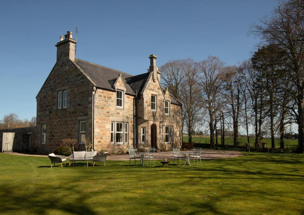 Country house in Letter (carbery East (w.d) By.)Country house · 1019 yd
 Castle (Site of)Castle, unclassified · 1.2 mi
 Country house in BohonaCountry house · 1.2 mi
 Clasharusheen Mansion (Site of)Castle, unclassified · 1.7 mi
 Clonakilty Blackpudding Visitor CentreHeritage attraction · 2.4 mi
 Battle of the Big Cross (1798) Memorial MonumentMonument · 2.6 mi
 Cloch na gCoillteMemorial · 2.6 mi
 Michael Collins House MuseumMuseum · 2.6 mi
 Michael Collins MemorialMemorial · 3.0 mi
 Corran HillMountain / peak · 3.7 mi