What is recorded here
In Cartron Glebe, a rectangular conglomerate stone rises 1.2 metres, tapering slightly from northeast to southwest. It has no visible packing stones at its base, suggesting deep burial rather than surface assembly. The clean geometry and deliberate alignment hint at human intention, yet no tradition or date claims the act.
Rectangular conglomerate stone (H 1.2m; 0.65m x 0.4m) which tapers at the top from NE to SW. No evidence of packing stones at its base, the stone appears to be set deeply into the ground. Aligned NE-SW.
The above description is derived from the published 'Archaeological Inventory of County Offaly' (Dublin: Stationery Office, 1997). In certain instances the entries have been revised and updated in the light of recent research.
Date of upload: 23 May 2011
The monument record does not grant public access. Check the route and ask the landowner before entering private land.
- What survives
- Recorded monument
Places near here
 IndicatedFairy fort / earthen ringfort · 137 yd
 Crannog in Cartron GlebeCrannog · 926 yd
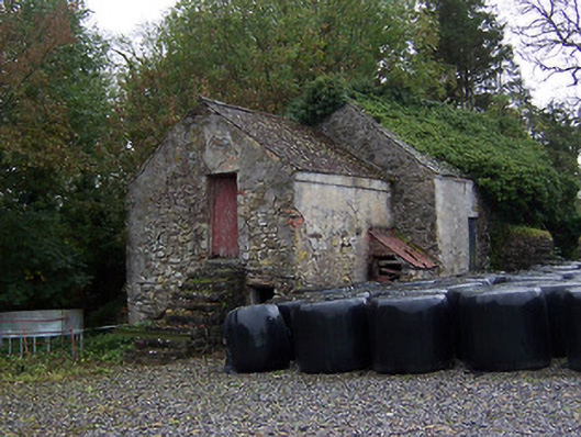 outbuildingoutbuilding · 1296 yd
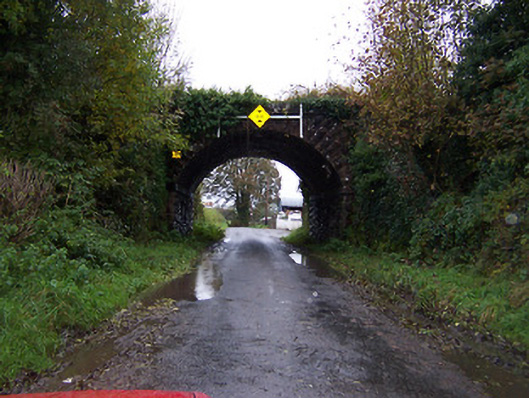 bridgebridge · 1331 yd
 Faheeran Castle (ruins)Castle · 1.1 mi
 Partially hachuredBawn · 1.1 mi
 Kilmalady HillMountain / peak · 2.9 mi
 ToberaskeenSpring · 3.6 mi
 Roughan HillMountain / peak · 3.6 mi
 Charles BianconiMemorial · 4.1 mi
 The Bob Traynor GalleryGallery · 4.2 mi
 Chapel HillForest · 4.5 mi