What is recorded here
On a low-lying landscape. Upright limestone slab (dims 2.4m NW-SE; 0.2-0.27m NE-SW; max. H 1.45m).
Compiled by: Michael Moore
Date of upload: 24 August 2010
The monument record does not grant public access. Check the route and ask the landowner before entering private land.
- What survives
- Recorded monument
Places near here
 St Patricks WellHoly well · 217 yd
 Kiltoom ChurchChurch · 435 yd
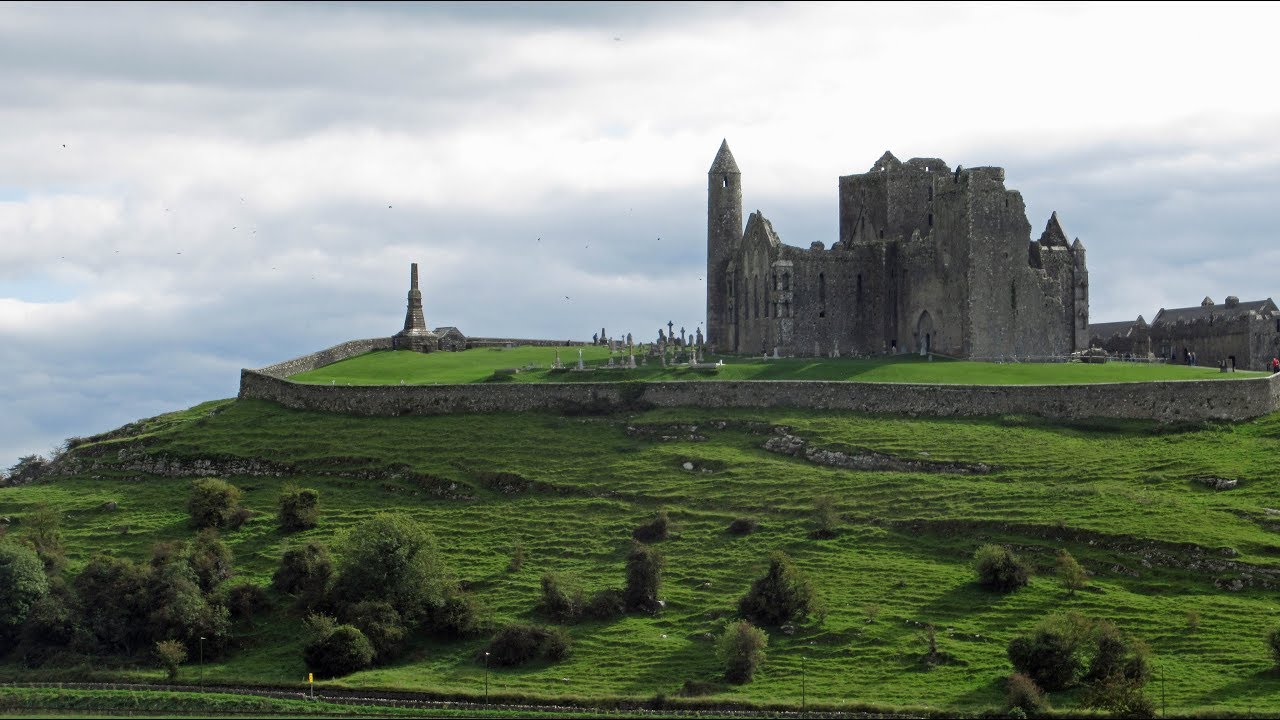 Mass-rock in KiltoomMass-rock · 542 yd
 Corn & Tuck MillMill, unclassified · 1122 yd
 Carnagh BayBay · 1.1 mi
 Long IslandIslet · 1.6 mi
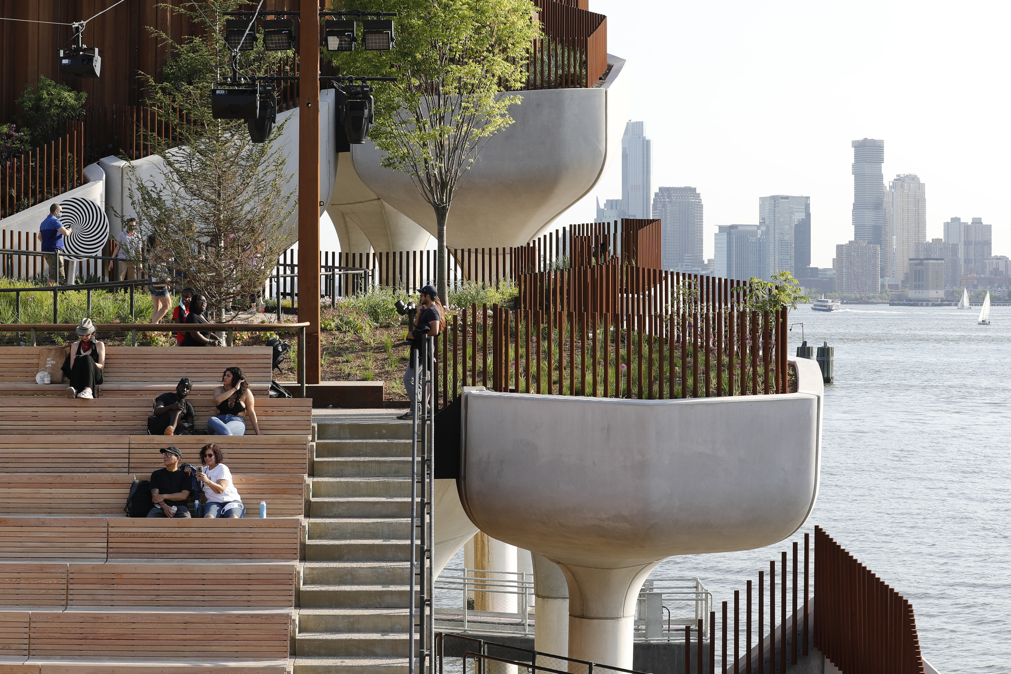 Little IslandIslet · 1.7 mi
 Kilmore BayBay · 1.9 mi
 Curraghboy CastleCastle, unclassified · 3.1 mi
 RindoonWood · 3.4 mi
 Rindown CastleCastle, Anglo-Norman masonry castle · 3.5 mi
 St. John's WoodWood · 4.4 mi