What is recorded here
No visible stone remains in Carrowkeel, but an 1838 map marked the pastureland Stone, and a limekiln now occupies the place where the monument may have stood. The landowner does not remember it, yet the name survived on paper while the rock disappeared beneath ordinary use. Perhaps people stopped noticing the stone because they stopped going there to look.
In gently undulating pastureland. Indicated and named 'Stone' in Roman script on the 1838 edition of the OS 6-inch map. No visible surface trace survives. A limekiln has been built here. The landowner did not recall there being a monument here. Possibly the site of a standing stone.
Compiled by: Olive Alcock
Date of upload: 16 December 2019
The monument record does not grant public access. Check the route and ask the landowner before entering private land.
- What survives
- Recorded monument
Places near here
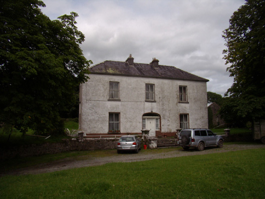 Carrowkeel Housecountry house · 102 yd
 Saint Andrew's Catholic Churchchurch/chapel · 307 yd
 Castle (in ruins)Castle, tower house · 640 yd
 St. Brendans WellHoly well · 1421 yd
 Ballynamantragh CastleCastle, unclassified · 1696 yd
 St Erneens WellHoly well · 1.2 mi
 Stone Islands SouthIslet · 4.0 mi
 Long PointHeadland · 4.1 mi
 Dartfield Horse MuseumHeritage attraction · 4.1 mi
 Island McCooIslet · 4.2 mi
 Quarryhill WoodWood · 4.5 mi
 Bog WoodForest · 5.0 mi