What is recorded here
On a NW slope on townland boundary with good views to N and W, an irregular pointed stone (H 1.5m-1.7m; Wth 1.25m; T 0.6m) with a large natural boulder adjacent to its N.
Compiled by: Claire Breen
Date of upload: 08 February 2013
The monument record does not grant public access. Check the route and ask the landowner before entering private land.
- What survives
- Recorded monument
Places near here
 Glenmacnass WaterfallWaterfall · 738 yd
 Scarr North-West TopMountain / peak · 1038 yd
 ScarrMountain / peak · 1.1 mi
 Abandoned Miners' VillageArchaeological place · 1.3 mi
 Coon BeachBeach / strand · 1.6 mi
 Oasis Mountain LodgeRuins · 1.6 mi
 Scotch VillageRuins · 2.4 mi
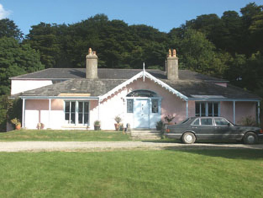 Lake Park Househouse · 2.7 mi
 Native Woodland Trust: Paddock Hill ReserveWood · 3.2 mi
 Wicklow GapMountain pass · 3.4 mi
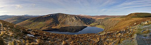 Lough TayMountain lake · 3.7 mi
 Glendalough Round TowerHeritage attraction · 4.0 mi