What is recorded here
In Carnduff, County Antrim, a standing stone still rises from the earth after centuries of rain and foottraffic. It is not a monument built for pride or display, but a marker shaped by human hands in a time before written record. The stone may have guided a path, marked a boundary, or watched a seasonal ceremony. Whatever it witnessed, it has kept the shape of that purpose long after the people who set it forgot how to speak its name.
The official Northern Ireland record identifies this as STANDING STONE. Recorded period: PREHISTORIC; UNCERTAIN. The official map point was placed at the centre of the recorded archaeological site from the source map reference.
Likely dating to the Neolithic or Bronze Age, this standing stone may have served a ceremonial, astronomical, or territorial function. No specific folklore or detailed meaning is recorded for this site.
The monument record does not grant public access. Check the route and ask the landowner before entering private land.
- What survives
- Recorded monument
Places near here
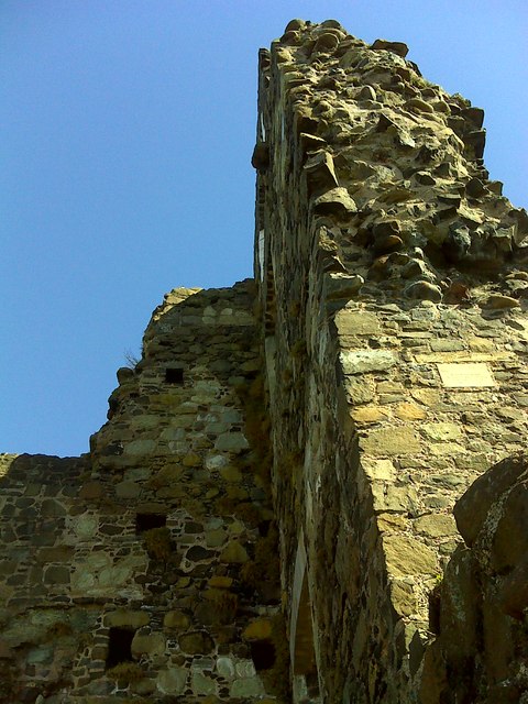 CASTLE: OLDERFLEET CASTLE or THE CURRAN CASTLE in Curran AND DrumalissCASTLE: OLDERFLEET CASTLE or THE CURRAN CASTLE · 1296 yd
 Olderfleet CastleCastle · 1302 yd
 Glynn Old ChurchRuins · 1474 yd
 Larne War MemorialMemorial · 1589 yd
 Ulster BankBank · 1.0 mi
 MV Princess Victoria MemorialMemorial · 1.3 mi
 SQUARE ENCLOSURE? in BallylumfordSQUARE ENCLOSURE? · 1.4 mi
 Swan IslandIslet · 1.6 mi
 A.P. SITEA.P. SITE, possible enclosure · 1.8 mi
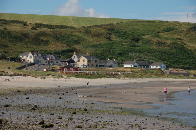 Browns bay walkBeach / strand · 2.3 mi
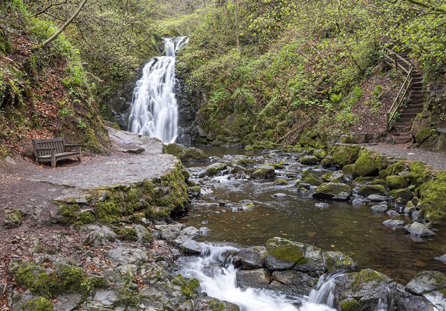 Glenoe WaterfallWaterfall · 2.7 mi
 Garden TrailWalking route · 3.8 mi