What is recorded here
Knockanaskill still drops shadows across Cappanacush East, but the small lozenge stone has vanished from the boggy slope where it stood. Forgetting is not the same as losing; the place keeps its shape in memory even when the marker disappears. What is recorded is that it existed, and what is lived is that it is no longer visible. The hill has taken back its own stone.
In boggy ground, on the S slopes of Knockanaskill. This possible standing stone (Wth 0.6m; H 0.92m), which is orientated ENE-WSW and is lozenge-shaped in plan, was noted during the monitoring of a small housing development (Bennett 2000, 112).
The above description is derived from the published 'Archaeological Inventory of County Kerry. Volume I: South-West Kerry' (Dublin: Stationery Office, 2009). In certain instances the entries have been revised and updated in the light of recent research.
Date of upload: 30 May 2011
The monument record does not grant public access. Check the route and ask the landowner before entering private land.
- What survives
- Recorded monument
Places near here
 Owing (Site of)Fairy fort / earthen ringfort · 521 yd
 Templenoe Churchchurch/chapel · 989 yd
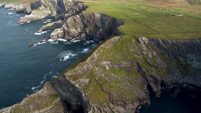 Indicated (1846).Enclosure · 1083 yd
 Cappanacush Castle (ruins)Castle · 1153 yd
 Coss StrandBeach / strand · 1473 yd
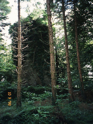 Dromore Castlefolly · 1547 yd
 Dunkerron Island WestIslet · 2.3 mi
 Dinish IslandIslet · 2.4 mi
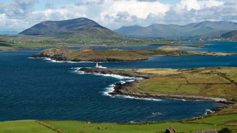 Letter SouthMountain / peak · 2.6 mi
 Lackeen PointHeadland · 2.7 mi
 Dunkerron CastleCastle · 3.1 mi
 Feorus EastMountain / peak · 3.8 mi