What is recorded here
Not marked on the OS maps, this low irregularly shaped standing stone is located in pastureland, on a N facing slope overlooking the Laune river. Roughly oval in basal plan, it tapers strongly as it rises to a height of 1.55m. It has maximum basal dimensions of 2.56m x 1.78m; NE-SW. Some packing stones are visible around its base.
The above description is derived from A. O'Sullivan and J. Sheehan (compilers), 'The Iveragh peninsula: an archaeological survey of South Kerry'. Cork University Press (1996), no. 144. In certain instances the entries have been revised and updated in the light of recent research.
Date of upload: 28 July 2013
The monument record does not grant public access. Check the route and ask the landowner before entering private land.
- What survives
- Recorded monument
Places near here
 Enclosure in ChurchtownEnclosure · 384 yd
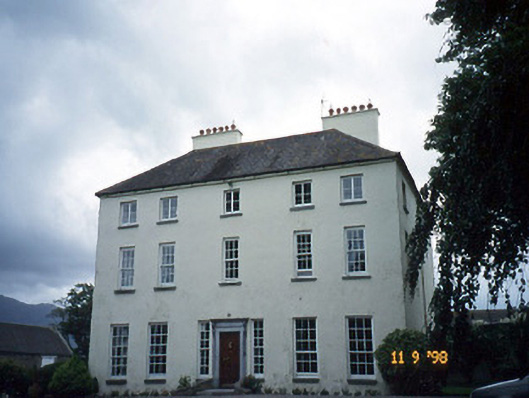 Churchtown Housecountry house · 462 yd
 Castle Core (in Ruins)Castle, tower house · 565 yd
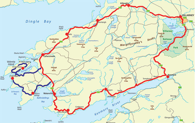 IndicatedFairy fort / earthen ringfort · 815 yd
 KilnKiln, lime · 1433 yd
 Dunloe Ogham StonesHeritage attraction · 1.5 mi
 Ballymalis CastleCastle · 1.6 mi
 Japanese pagoda treeJapanese pagoda tree · 1.8 mi
 European YewEuropean Yew · 1.8 mi
 The Kerry Creamery ExperienceHeritage attraction · 3.4 mi
 Tomies Mountain North TopMountain / peak · 3.4 mi
 KnockroeMountain / peak · 3.7 mi