
What is recorded here
In pasture. In the 1930s Capt. D. B. O'Connell recorded a 'slag mount' in the townland of Churchtown (KAS). This would appear to be the same feature which he referred to as a 'curious "site"...on the lands of Mr. T. Foley of Churchtown' in a general description of 'ancient mines' (O'Connell 1939, 23). There are no visible remains of this possible monument. It is possible that what O'Connell was referring to was the remains of a limekiln which is indicated on the 1846 and 1894 OS 6-inch maps in the immediate vicinity of the 'slag mount'.
Compiled by: Elizabeth Byrne, Ursula Egan and Sheila Ronan, Archaeological Survey Unit, University College, Cork.
Date of upload: 30 May 2011
This remains an important historical record, but the official description says the monument is no longer visible or has been destroyed. The monument record does not grant public access. Check the route and ask the landowner before entering private land.
- What survives
- No visible remains or recorded as destroyed
Places near here
 Knockane Churchchurch/chapel · 418 yd
 Enclosure in Ards (dunkerron North By.)Enclosure · 789 yd
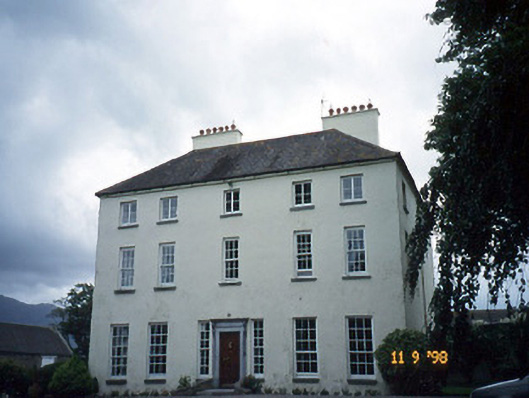 Churchtown Housecountry house · 983 yd
 Enclosure in ChurchtownEnclosure · 1012 yd
 Castle Core (in Ruins)Castle, tower house · 1168 yd
 Ballymalis CastleCastle · 1428 yd
 Dunloe Ogham StonesHeritage attraction · 2.2 mi
 Japanese pagoda treeJapanese pagoda tree · 2.4 mi
 European YewEuropean Yew · 2.5 mi
 The Kerry Creamery ExperienceHeritage attraction · 2.8 mi
 KnockroeMountain / peak · 3.9 mi
 KnockbrackMountain / peak · 4.0 mi
Other information
Photo: Credit not shown in the picture search · Rights wording not checked; contact us if this picture should be removed