What is recorded here
Standing stone in Canrooska is a rectangular stone 1.8m high in rough hill pasture above the Canrooska River valley. It stands on bog, facing west, with its long edge drawn from east to west. The valley drops away below like a green throat, and the stone marks the edge where the land stops being ordinary.
In rough hill pasture, on bog, on a W-facing slope overlooking the valley of the Canrooska River. This standing stone (1.5m x 0.6m; H 1.8m) is rectangular in plan and is orientated E-W.
The above description is derived from 'The Archaeological Inventory of County Cork. Volume 5' (Dublin: Stationery Office, 2009).
Date of upload: 22 December 2009
The monument record does not grant public access. Check the route and ask the landowner before entering private land.
- What survives
- Recorded monument
Places near here
 Field boundary in CanrooskaField boundary · 217 yd
 Field boundary in Currakeal (bear By.)Field boundary · 519 yd
 Tasmanian bluegumTasmanian bluegum · 1.1 mi
 Glengarriff Eccles Hotelhotel · 1.1 mi
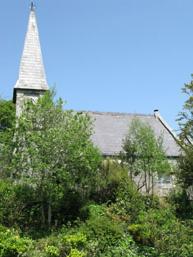 The Old Church Caféchurch/chapel · 1.2 mi
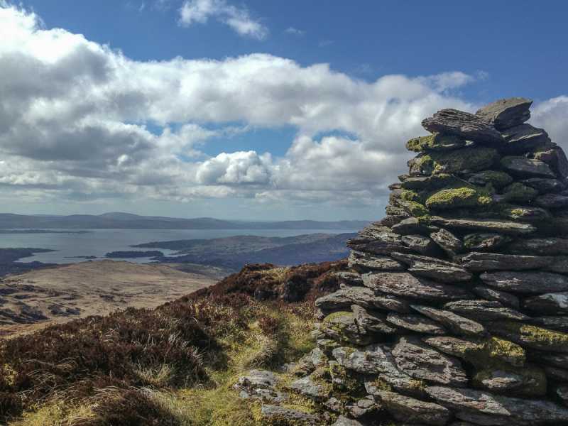 Barraboy Mountain SE TopMountain / peak · 1.3 mi
 The Blue PoolHeritage attraction · 1.3 mi
 Graveyard in CappyaughnaGraveyard · 1.4 mi
 Calf IslandIslet · 1.4 mi
 Friars IslandIslet · 1.4 mi
 Lady Bantry's LookoutViewpoint · 1.5 mi
 Barraboy MountainMountain / peak · 1.5 mi