What is recorded here
This standing stone is published in Myler, D. (1998) An Archaeological Survey of the Mealagh Valley. Mealagh Valley Community Development Association, 120. Here it is described as 'situated in rough stony pasture on a north facing slope. This irregular stone has a long axis aligned WSW-ENE and measures 7 ft. high, 5 ft. wide and 3 ft. thick.'
Compiled by: Denis Power
Date of upload: 2 May 2013
Likely dating to the Neolithic or Bronze Age, this standing stone may have functioned as a territorial marker, ceremonial focus, or astronomical alignment point. No specific folklore or detailed use is recorded for this site.
The monument record does not grant public access. Check the route and ask the landowner before entering private land.
- What survives
- Recorded monument
Places near here
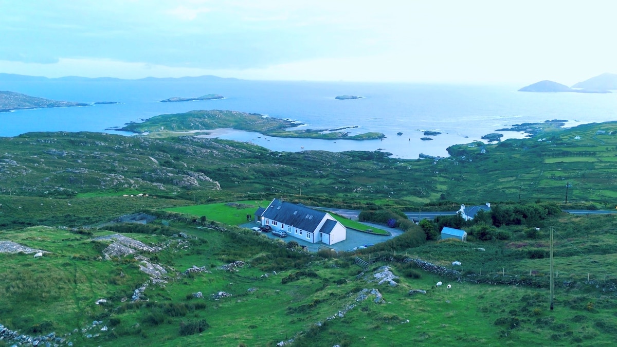 Man-made underground passage in Caherdaniel EastMan-made underground passage · 534 yd
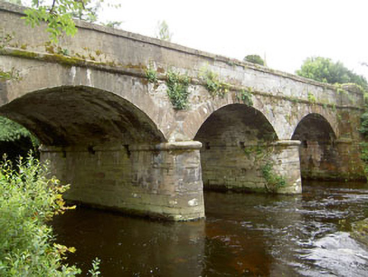 Dunnamark Bridgebridge · 1121 yd
 Dunnamark Mill (Corn)Mill, corn · 1144 yd
 Settlement cluster in Newtown (bantry By.)Settlement cluster · 1625 yd
 Graveyard in TownlotsGraveyard · 1.0 mi
 Tourist OfficeVisitor information · 1.2 mi
 Statue of Wolfe ToneMemorial · 1.2 mi
 Trawlebane WalkWalking route · 1.6 mi
 Seskin ViewViewpoint · 1.7 mi
 Bantry HouseHeritage attraction · 1.8 mi
 Chapel IslandIslet · 1.8 mi
 Horse IslandIslet · 2.0 mi