What is recorded here
In pasture overgrown with briars, bracken and gorse, the long axis of this standing stone is aligned NE/SW. Sub-rectangular in plan (its sides at ground level measure: SW- 0.4m, SE - 0.8m, NE - 0.55m and NW – 0.88m) and 1m high, its sides are parallel for c. 0.6m before tapering to a point. Ground level is slightly lower at SE than at NW. Good views to SE towards Knocknasullig (also known locally as the Sugarloaf). Derelict two-storey house 25m to SSE. Identified as a standing stone by Aoibheann Lambe (2018).
Compiled by: Aoibheann Lambe
Date of upload: 25 April 2018
Dated to the Late Neolithic or Early Bronze Age, this standing stone may have functioned as a boundary marker, ritual monument, or solar calendar, given its NE/SW alignment. No specific folklore or use is recorded for the site.
The monument record does not grant public access. Check the route and ask the landowner before entering private land.
- What survives
- Recorded monument
Places near here
 IndicatedEnclosure · 337 yd
 Fairy fort / stone ringfort in BrackaharaghFairy fort / stone ringfort · 447 yd
 Trá an Ghleanna Bhig / Glanbeg BeachBeach / strand · 971 yd
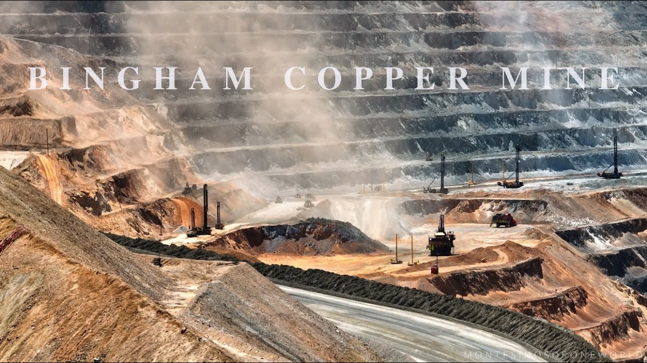 MineMine, copper · 1527 yd
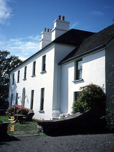 Westcove Househouse · 1591 yd
 Reen BeachBeach / strand · 1682 yd
 Castle Cove (in Ruins)Castle, tower house · 1.7 mi
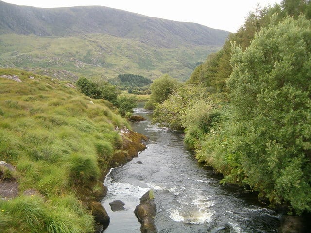 Eagle HillMountain / peak · 2.0 mi
 Ogham StoneVisitor information · 2.0 mi
 Cahernageeha MountainMountain / peak · 2.2 mi
 Derrynane House / Teach Dhoire FhionáinHeritage attraction · 2.3 mi
 Páirc Náisiúnta Stairiúil Dhoire Fhíonáin / Derrynane National Historic ParkNature reserve · 2.5 mi