What is recorded here
Standing stone in Béal An Mhuirthead marked the highest point of a low hill in Belmullet, watching Trawmore Bay and Broadhaven Bay until housing work broke the old line. Local story claims it covered a chieftain killed in a cattle raid against Munstermen, while scorch marks suggest a nearby factory fire also touched it. The stone was displaced, buried partly beneath development, then re-erected a short distance west with its weathered half still remembering the sky.
In Belmullet town, located on the highest point of a low hill, overlooking Trawmore Bay to SW and the inner reaches of Broadhaven Bay to NE.
This standing stone is not shown on the 1839 OS 6-inch map, but is indicated as 'Standing Stone' on the 1921 edition. According to local folklore, the original location of the stone marks the burial site of a local chieftain, who was killed in battle during a cattle raid against Munstermen.
When inspected in 1995, the stone stood upright, incorporated into a modern NW−SE field boundary on the hill, and was surrounded by pastureland. It consisted of a large slab (H 1.7m above ground; Wth 1.12; T 0.29m) set upright in the ground, with the long axis aligned NE−SW. There were several buttressing stones surrounding it at its base.
It was removed from this location during construction of a residential housing estate in 2005. The stone had already been displaced and was no longer standing upright. It was found lying on the ground close to what was thought to have been its original location. The prostrate stone (total L 3.55m) exhibited lichen and weathering on approximately half of its total length, indicating the part of the stone that originally stood above ground. According to local information, marks on the stone, about midway up its length, were scorch marks as a result of a fire which occurred at a factory located adjacent to the original location of the standing stone. As it was not possible to re-erect the stone at its original location, it was re-erected at a new location (MA010-024001-) c. 120m to WSW.
Compiled by: Jane O'Shaughnessy
Date of upload: 28 February 2019
The monument record does not grant public access. Check the route and ask the landowner before entering private land.
- What survives
- Recorded monument
Places near here
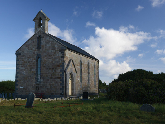 Belmullet Church (Kilcommon-Erris)church/chapel · 204 yd
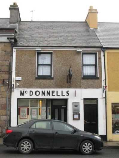 McDonnellshouse · 538 yd
 Holy WellHoly well · 1.5 mi
 Fairy fort / earthen ringfort in Imleach Beag ThuaidhFairy fort / earthen ringfort · 1.7 mi
 Gob an ChloiginnHeadland · 2.6 mi
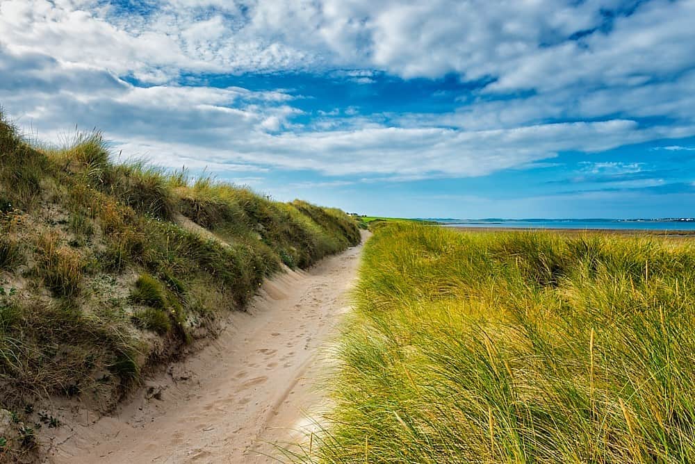 Oileán ChloigeannIslet · 2.7 mi
 Trá Bhéal DoireBeach / strand · 3.2 mi
 Inis DoireIslet · 3.3 mi
 Burkes Castle (Site of)Castle, unclassified · 3.5 mi
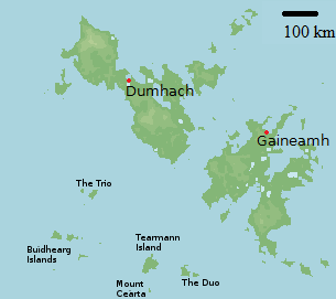 Bawn in Tearmann CaithreachBawn · 3.9 mi
 Trá na SraitheBeach / strand · 4.0 mi
 Dún na mBó BlowholeHeritage attraction · 4.9 mi