What is recorded here
In undulating pasture on a slight NE facing slope 60m S of a stream that marks the townland boundary with Cloghkeating. Not depicted on either the 1840 0S 6-inch map or the 1897 25-inch OS map. Identified as Site C by Celie O’Rahilly, archaeologist, Limerick Corporation, when it was described as following; ‘Consists of a large megalithic-type boulder in the field boundary. Could simply be the result of field–clearance but equally could be a boulder burial. There is a second one further east also in the field boundary. Need closer examination from the north side.’ Site inspected in 2001 and described as an upright rectangular-shaped limestone boulder (H 1.7m, W 1.35m) in a drystone boundary wall. There are no support stones or decoration. Possible glacial erratic incorporated into field boundary. Not visible today on Google Earth orthoimage taken 2020.
See attached Google Earth orthoimage taken 19/11/2019
Compiled by: Martin Fitzpatrick
Date upload: 24 June 2020
The monument record does not grant public access. Check the route and ask the landowner before entering private land.
- What survives
- Recorded monument
Places near here
 Dotted outlineFairy fort / stone ringfort · 250 yd
 Knockanadausa FortArchaeological place · 288 yd
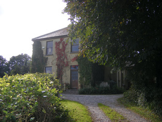 Beech Hillhouse, surgery/clinic · 1529 yd
 Duane Villepresbytery/parochial/curate's house · 1.1 mi
 Castle FieldCastle, unclassified · 1.6 mi
 Meelick Ho.House, fortified house · 2.6 mi
 Sailors HaggardMemorial · 3.8 mi
 Grass IslandIslet · 6.1 mi
 Maiden RockNamed rock · 6.4 mi
 Mellon PointHeadland · 7.0 mi
 Bunratty Castlehouse · 7.4 mi
 Sweet ChestnutSweet Chestnut · 7.8 mi