What is recorded here
In flat pasture, immediately N of an old laneway with Glenduff Stream marking townland boundary with Kilfinnane 90m to NE. Standing stone (LI056-069----) 287m to E, standing stone (LI056-070----) 280m to SSE. Kilfinnane motte (LI056-024----) and standing stone (LI056-022----) 280m to SSE. Standing stone rectangular in plan with tapering top which was identified by Billy O'Brien of Kilfinnane. One of a group of three possible standing stones (LI056-069/070----) located in close proximity to each other accessed from the old laneway.
Compiled by: Caimin O'Brien based on details provided by James and Billy O'Brien
Date of upload: 13 August 2020
The monument record does not grant public access. Check the route and ask the landowner before entering private land.
- What survives
- Recorded monument
Places near here
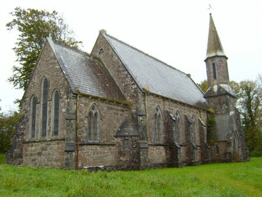 Saint Andrew's Church (Kilfinnane)church/chapel · 284 yd
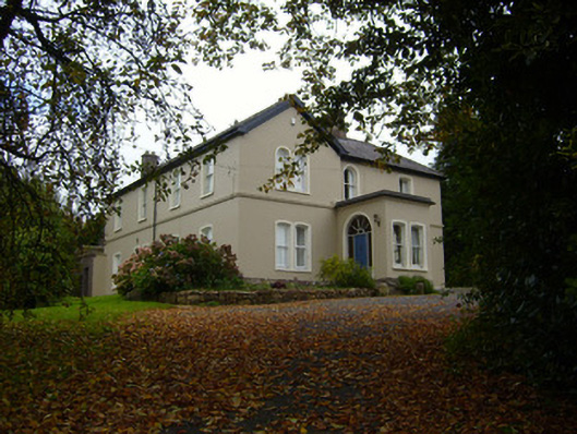 Glendove Househouse · 327 yd
 Treada Na Ríogh (The Moat), hachuredCastle, motte · 419 yd
 BarrowBarrow, unclassified · 432 yd
 Ballyhoura tourist informationVisitor information · 478 yd
 Furnace in KilfinnaneFurnace · 494 yd
 Castle (in ruins)Castle, tower house · 624 yd
 Palatine's RockNamed rock · 1.2 mi
 Ballyhoura WayWalking route · 1.4 mi
 Gooseberry HillMountain / peak · 1.8 mi
 Keale MountainMountain / peak · 1.8 mi
 ToberpatrickSpring · 2.8 mi