What is recorded here
Half a metre of square stone stands in upland pasture beside Bóthar na bhFian, the road whose name invokes Finn and whose line suggests an ancient cursus. It is the kind of marker people walk past because it is small, yet it is also the kind of marker a lost road needs at the edge of a field. The pasture, the ringfort and the naming all point to a place remembered through movement rather than monument.
In upland pasture 175m NE of the townland boundary with Ballinlyna and 130m NW of a large forestry plantation. Roadway (LI056-015---) lies 5m to E, enclosure (LI056-020---) 45m to N. Not depicted on OSi historic maps. Identified as a standing stone by archaeologist Tracy Collins in 2002 when described as follows; ‘immediately to the west of a ringfort [LI056-020----] and a road named Bóthar na bhFian [LI056-015----], which on inspection was reminiscent of a cursus. During this inspection an unrecorded element, a standing stone, was noted within the zone of archaeological potential of the road. This stone is 5m west of the western edge of the old road; it is almost square in section and stands to 0.6m high’ (Collins 2004, 307; www.excavations.ie 2002, No. 1119). No surface remains visible on Google Earth orthoimages.
See attached Google Earth orthoimage.
Compiled by: Martin Fitzpatrick
Date of upload: 15 November 2021
The monument record does not grant public access. Check the route and ask the landowner before entering private land.
- What survives
- Recorded monument
Places near here
 BarrowBarrow, unclassified · 73 yd
 Man-made underground passageMan-made underground passage · 324 yd
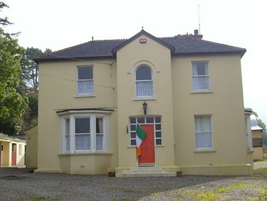 Hillsidehouse · 741 yd
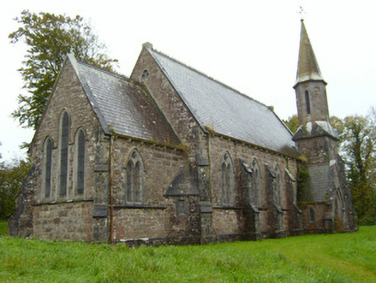 Saint Andrew's Church (Kilfinnane)church/chapel · 767 yd
 Treada Na Ríogh (The Moat), hachuredCastle, motte · 896 yd
 Ballyhoura tourist informationVisitor information · 949 yd
 Castle (in ruins)Castle, tower house · 1105 yd
 Palatine's RockNamed rock · 1.4 mi
 Ballyhoura WayWalking route · 1.6 mi
 Gooseberry HillMountain / peak · 1.6 mi
 Keale MountainMountain / peak · 1.7 mi
 ToberpatrickSpring · 2.6 mi