What is recorded here
In upland pasture 175m NE of the townland boundary with Ballinlyna and 130m NW of a large forestry plantation. Roadway (LI056-015---) lies 5m to E, enclosure (LI056-020---) 45m to N. Not depicted on OSi historic maps. Identified as a standing stone by archaeologist Tracy Collins in 2002 when described as follows; ‘immediately to the west of a ringfort [LI056-020----] and a road named Bóthar na bhFian [LI056-015----], which on inspection was reminiscent of a cursus. During this inspection an unrecorded element, a standing stone, was noted within the zone of archaeological potential of the road. This stone is 5m west of the western edge of the old road; it is almost square in section and stands to 0.6m high’ (Collins 2004, 307; www.excavations.ie 2002, No. 1119). No surface remains visible on Google Earth orthoimages.
See attached Google Earth orthoimage.
Compiled by: Martin Fitzpatrick
Date of upload: 15 November 2021
The monument record does not grant public access. Check the route and ask the landowner before entering private land.
- What survives
- Recorded monument
Places near here
 BarrowBarrow, unclassified · 73 yd
 Man-made underground passageMan-made underground passage · 324 yd
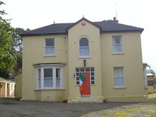 Hillsidehouse · 741 yd
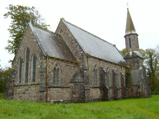 Saint Andrew's Church (Kilfinnane)church/chapel · 767 yd
 Treada Na Ríogh (The Moat), hachuredCastle, motte · 896 yd
 Ballyhoura tourist informationVisitor information · 949 yd
 Castle (in ruins)Castle, tower house · 1105 yd
 Palatine's RockNamed rock · 1.4 mi
 Ballyhoura WayWalking route · 1.6 mi
 Gooseberry HillMountain / peak · 1.6 mi
 Keale MountainMountain / peak · 1.7 mi
 ToberpatrickSpring · 2.6 mi