What is recorded here
Machines tore the stone from its ancient setting during forestry work, leaving it homeless until people reset it beside reconstructed cists in 1978. It still stands two metres forty high, a displaced sentinel guarding a new address rather than the forgotten place it once marked. Forgetting is not the same as losing; the stone remembers weight, pressure and time even when human memory fails.
This standing stone is referred to in the The 'Archaeological Inventory of County Cork - vol. 4 North Cork' (2000, 197) under the entry (no. 11937) for a short cist (CO008-012003-). The reference in the entry reads: 'Standing stone (H 2.4m; 1.2m x 0.65m) (CO008-012002-), dislodged during forestry opertations, erected immediately N of reconstructed cists, in 1978; original location not known.'
The above description is derived from the published 'Archaeological Inventory of County Cork. Volume 4: North Cork' (Dublin: Stationery Office, 2000). In certain instances the entries have been revised and updated in the light of recent research.
Date of upload/revision: 14 January 2009
The monument record does not grant public access. Check the route and ask the landowner before entering private land.
- What survives
- Recorded monument
Places near here
 Cist in BallynaboolaCist · 4 yd
 Fulacht fia in Garrane (fermoy By.)Fulacht fia · 375 yd
 Glanmore Househouse · 457 yd
 Ardskeagh MoatCastle, motte · 1178 yd
 BallinaboolaVisitor information · 1407 yd
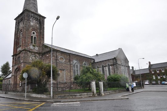 Ardskeagh Church (in Ruins)Church · 1579 yd
 Castle Harrison on Site of Castle (19*Castle, unclassified · 1.3 mi
 CarrigeenMountain / peak · 1.5 mi
 Caher HillMountain / peak · 2.2 mi
 Holy Cross CemeteryGraveyard · 2.9 mi
 ToberSpring · 3.0 mi
 Lady's WellSpring · 3.1 mi