What is recorded here
Standing stone in Ballymalone is a leaning sandstone marker set in a marshy Clare field, its SE face bulging like a shoulder and its flat top pointing north. It escaped the larger 1840 and 1920 maps but appears on the finer 25-inch survey, suggesting someone valued precision enough to mark what distance blurred. The stone may have guided people through wet ground or marked a boundary now lost beneath grass and water. Its tilt does not read as collapse so much as direction, as if it still points toward something only the field remembers.
Situated in a flat very marshy field, surrounded by forestry at NW, E and SE. Indicated on the OS 25-inch map but not indicated on the 1840 or1920 OS 6-inch maps. There is some visibility to SW towards rising pasture. A sandstone standing stone (H 1.58m) roughly trapezoidal in plan with the long axis oriented E-W (SE face L 0.65m; NW face 0.42m; SW face 0.26m; NE face 0.48m). The stone leans heavily to SE. The top is flat and rises to a point at N. The SE face bulges out significantly at mid height. Some packing stones are present at the base of the stone at NW and there are a couple of loose stones also.
This standing stone was reported to the National Monuments Service by Rieks Zevering in January 2018.
The following images have been uploaded:
CL029-059----_01.jpg View from SE.
CL029-059----_02.jpg View from NW.
CL029-059----_03.jpg View from NE.
Compiled by: Mary Tunney
Date of upload: 9 May 2018
Probably dates to the Late Neolithic or Bronze Age, given the typical period for standing stones in this region. Its purpose may have been ritual or ceremonial, possibly linked to landscape orientation or seasonal markers, though specific folklore or use is not recorded.
The monument record does not grant public access. Check the route and ask the landowner before entering private land.
- What survives
- Recorded monument
Places near here
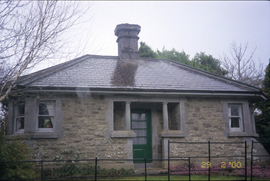 Raheen Manordemesne walls/gates/railings · 1191 yd
 Tuamgraney Community WoodlandsWood · 1361 yd
 Ratheen WoodsWood · 1550 yd
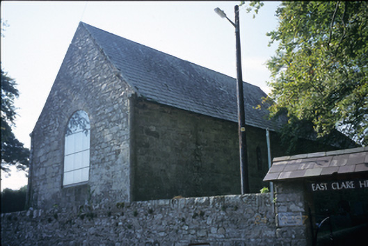 East Clare Heritage Centrechurch/chapel · 1752 yd
 Round tower in TomgraneyRound tower · 1753 yd
 Tobercoolan (Covered)Holy well · 1.5 mi
 Castle BaunCastle · 2.0 mi
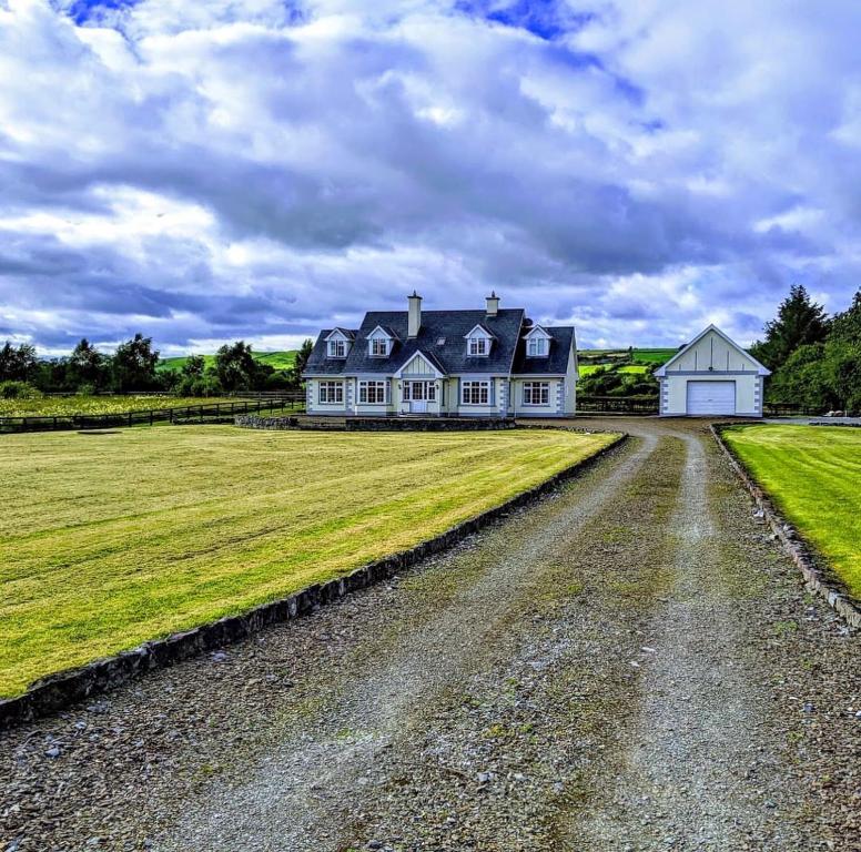 Scarriff BayBay · 2.2 mi
 Caherhurly Castle (in Ruins)Castle, unclassified · 2.5 mi
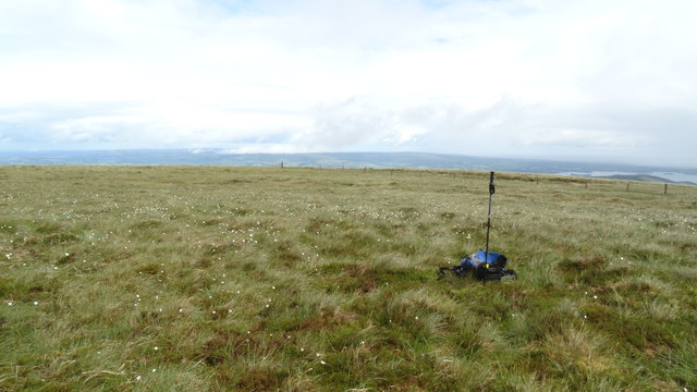 MoylussaMountain / peak · 3.6 mi
 Inishcaltra or Holy IslandIslet · 3.7 mi
 Crow IslandIslet · 4.1 mi