What is recorded here
This rather weathered stone is located in a level field, on the W bank of the River Laune. It is 2.1m high and of regular elevation, measuring 1.15m x 1.1m at base; NW-SE. It is not marked on the OS maps.
The above description is derived from A. O'Sullivan and J. Sheehan (compilers), 'The Iveragh peninsula: an archaeological survey of South Kerry'. Cork University Press (1996), no. 133. In certain instances the entries have been revised and updated in the light of recent research.
Date of upload: 28 July 2013
The monument record does not grant public access. Check the route and ask the landowner before entering private land.
- What survives
- Recorded monument
Places near here
 Cloon IslandIsland · 289 yd
 LismoyleArchaeological place · 347 yd
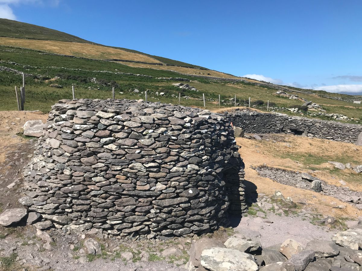 Enclosure in BanshaghEnclosure · 658 yd
 Clash IslandIslet · 973 yd
 Saint James's Catholic Churchchurch/chapel · 1312 yd
 Church in Dromavally (trughanacmy By., Killorglin Ed)Church · 1339 yd
 King Puck statueMemorial · 1444 yd
 CastleCastle, tower house · 1521 yd
 Castle Drum (in ruins)Castle, unclassified · 3.8 mi
 LisnagraveArchaeological place · 4.1 mi
 The Kerry Creamery ExperienceHeritage attraction · 4.6 mi
 Lough Yganavan Nature ReserveNature reserve · 5.2 mi