What is recorded here
On a SW spur of a NW-SE ridge overlooking the flat marshy valley of the Carriggower River to the SW. Church Mountain with cairn (WI015-029002-) dominates the view to the NNE with Spinans Hill visible to the S. A standing stone (max. H 1.39m) with a smooth NW face, orientated NW-SE. The stone is wedge-shaped in plan (Wth 0.61m on the slightly curved SW face; 0.28m at NE; 0.37m at NW; 0.41m at SE). Large layers of stone appear to have weathered off the SW face. The S angle of the SW face seems to have been broken off, probably due to weathering. Some small stones (L 0.13-0.3m) near the base of the stone with one lump of quartz (0.13 x 0.08m) at the base of the NW face. A flat-topped hill to SW across the river valley has been much quarried away. Price in 1951 noted that the ogham stone at Donard (WI021-004----) 'is said to have been just near this pillar stone.' (Corlett and Weaver 2002, 541)
Revised by: Mary Tunney
Date of revision: 21 November 2012
Probably dating to the Neolithic or Bronze Age, this standing stone may have had ceremonial or territorial significance, possibly aligned with nearby landscape features such as Church Mountain cairn. Local folklore or specific use is not recorded.
The monument record does not grant public access. Check the route and ask the landowner before entering private land.
- What survives
- Recorded monument
Places near here
 English hollyEnglish holly · 920 yd
 Enclosure in Donard LowerEnclosure · 1647 yd
 Enclosure in Irishtown ParkEnclosure · 1.0 mi
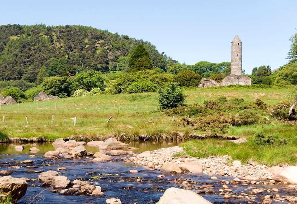 Ball MoatCastle, motte · 1.1 mi
 Church (in Ruins), Grave Yd.Church · 1.2 mi
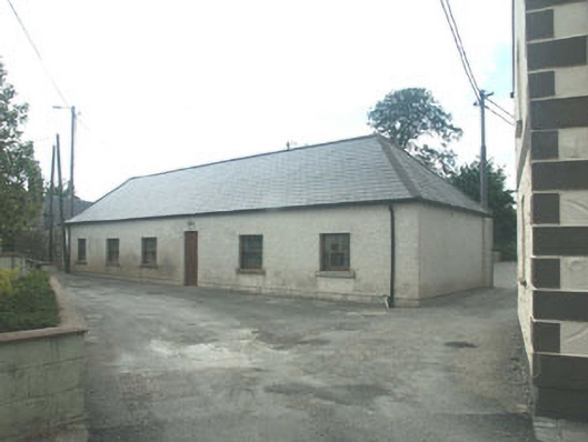 Donard National Schoolschool · 1.2 mi
 Castleruddery MotteArchaeological place · 1.2 mi
 Pedunculate OakPedunculate Oak · 1.5 mi
 Ballyhook HillMountain / peak · 2.5 mi
 PinnacleMountain / peak · 2.8 mi
 Michael Dwyer MemorialMemorial · 3.8 mi
 Saint Brigit's ChairNamed rock · 3.9 mi