What is recorded here
No visible marker remains at Ballyheridan, yet the land still carries the shape of what stood there. People may have gathered around the stone, measured shadow or distance, or simply watched it hold steady while weather changed everything else. Its absence does not erase that function. It removes the chance to see whether the story matched the shape.
The official Northern Ireland record identifies this as STANDING STONE. Recorded period: UNCERTAIN; PREHISTORIC. The official map point was placed at the centre of the recorded archaeological site from the source map reference.
Likely dating to the Neolithic or Bronze Age, this standing stone may have served a ceremonial, astronomical, or territorial function. No specific folklore or detailed local tradition is recorded for this site.
The monument record does not grant public access. Check the route and ask the landowner before entering private land.
- What survives
- Recorded monument
Places near here
 HENGIFORM ENCLOSURE in BallyheridanHENGIFORM ENCLOSURE · 658 yd
 ENCLOSURE in BallymoranENCLOSURE · 805 yd
 Primate's ChapelChurch · 1.2 mi
 Armagh GaolPrison · 1.6 mi
 Armagh Rail Disaster Memorial SculptureMemorial · 1.7 mi
 Mullacreevie ambushambush · 1.8 mi
 No 5 Vicars' HillMuseum · 1.8 mi
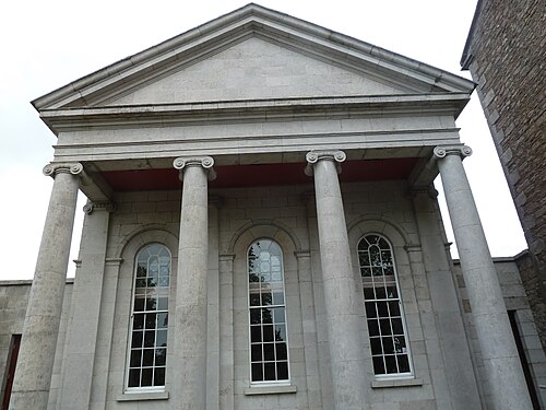 Armagh County MuseumMuseum · 1.8 mi
 Crimean CannonMemorial · 1.8 mi
 Battle of ClontibretMajor battlefield · 1.9 mi
 Abbey StreetVisitor information · 1.9 mi
 Cannon HillViewpoint · 4.7 mi