What is recorded here
Ballycroneen West once held a slender standing stone on a small rounded hill called an liagán, but gravity or greed has laid it across the pasture like a forgotten ruler. The stone still points east and west beside a field fence, waiting for someone to imagine the hands that raised it or the disaster that broke it. Its height is gone, yet its direction remains, marking the hill where human pride first measured itself against the sky.
In pasture, on the summit of hill. This prostrate stone (0.77m x 0.15m; L 2.85m) is roughly subrectangular in plan and section. It is presently lying on the ground close to a field fence with its long axis orientated E-W. A trigonometrical point is in the immeditate vicinity. Shown on Grand Jury map of 1810 as "Ballycroneen Stone". Power (1940, 23) describes this stone as a 'beautifully slender specimen, 11ft[3.35m] x 2ft 6in[0.76m] x 1ft[0.3m]' standing on 'a small rounded hill' known locally as "an liagán".
The above description is derived from the published 'Archaeological Inventory of County Cork. Volume 2: East and South Cork' (Dublin: Stationery Office, 1994). In certain instances the entries have been revised and updated in the light of recent research.
Date of upload/revision: 14 January 2009
The monument record does not grant public access. Check the route and ask the landowner before entering private land.
- What survives
- Recorded monument
Places near here
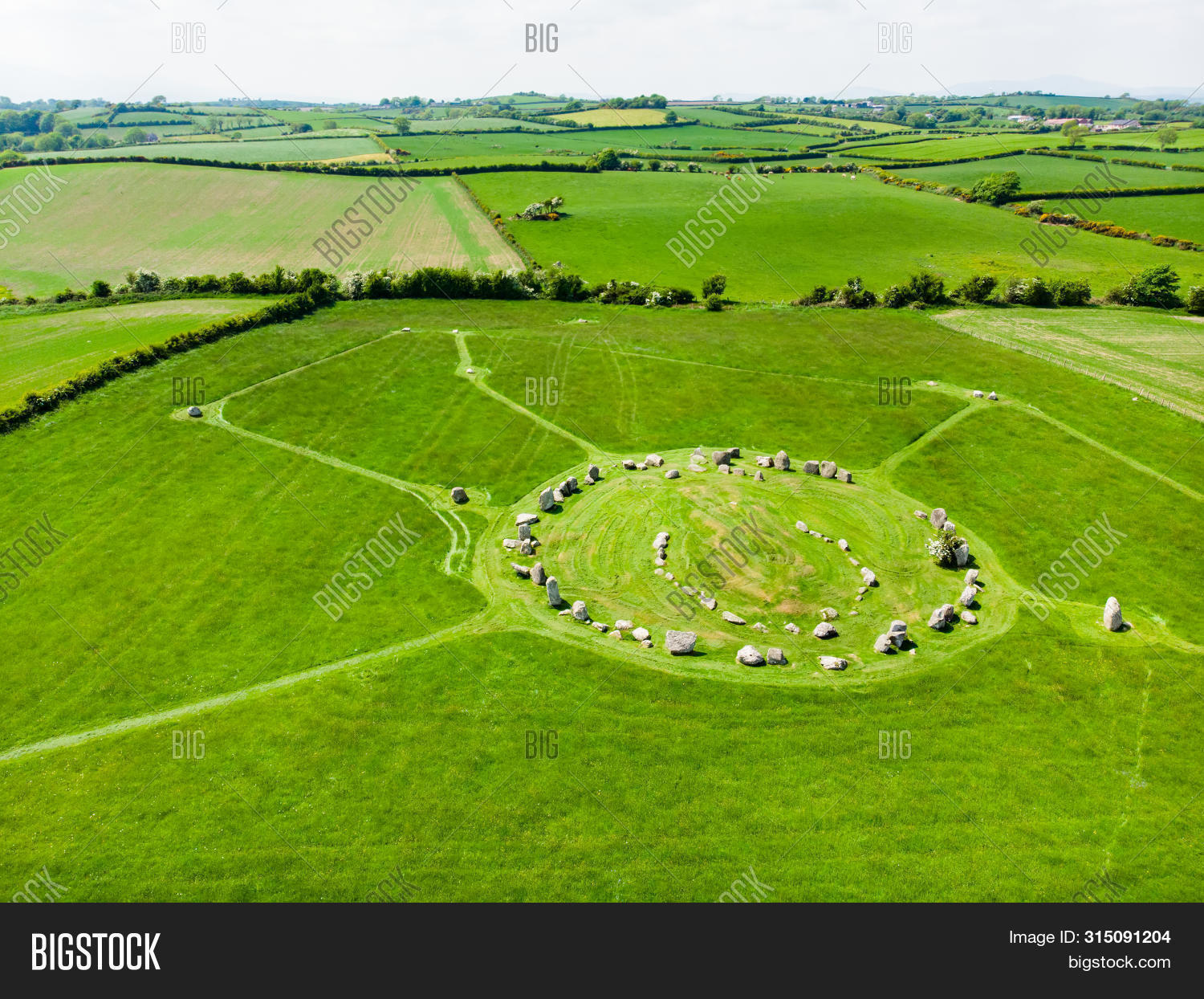 Prehistoric sitePrehistoric site, lithic scatter · 192 yd
 Ballycroneen BeachBeach / strand · 408 yd
 Ballybrannigan BeachBeach / strand · 943 yd
 Anchor The SagaMemorial · 1560 yd
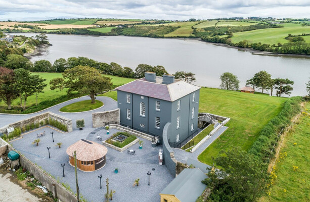 LissowenEnclosure · 1721 yd
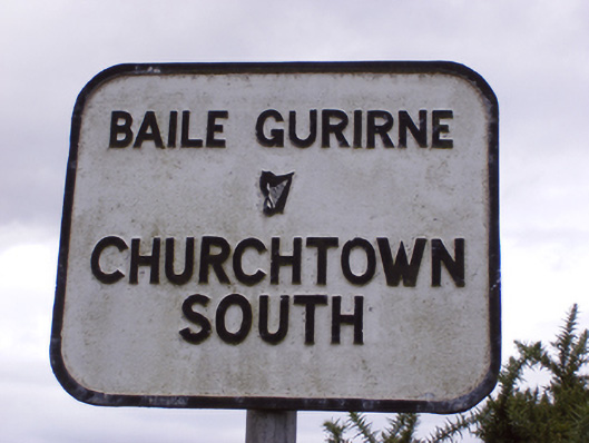 sign postsign post · 1.9 mi
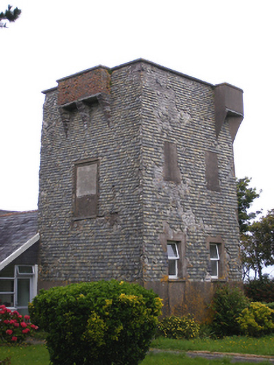 Ballmacotter Castlesignal tower · 2.2 mi
 Doonpower (in Ruins)Castle, unclassified · 2.5 mi
 RobertMemorial · 3.0 mi
 Fossil Worm TrackNamed rock · 3.0 mi
 PohutukawaPohutukawa · 3.6 mi
 Sweet ChestnutSweet Chestnut · 3.6 mi