What is recorded here
Situated on a S-facing slope, at the head of a valley which opens out to the SE. A stone with a rectangular cross-section (dims. 0.8m x 0.35-0.5m; H 1.3m) and a rectangular top (dims. 0.7-0.9m x 0.4m) is oriented WNW-ESE.
The above description is derived from the published 'Archaeological Inventory of County Waterford' (Dublin: Stationery Office, 1999). In certain instances the entries have been revised and updated in the light of recent research.
Date of upload/revision: 23 December 2008
Likely dating to the Neolithic or Bronze Age, this standing stone may have functioned as a boundary marker, ritual monument, or astronomical alignment feature. No specific folklore or use is recorded for the site.
The monument record does not grant public access. Check the route and ask the landowner before entering private land.
- What survives
- Recorded monument
Places near here
 Embanked enlcosureEnclosure · 894 yd
 Site of St. Johns ChurchChurch · 1326 yd
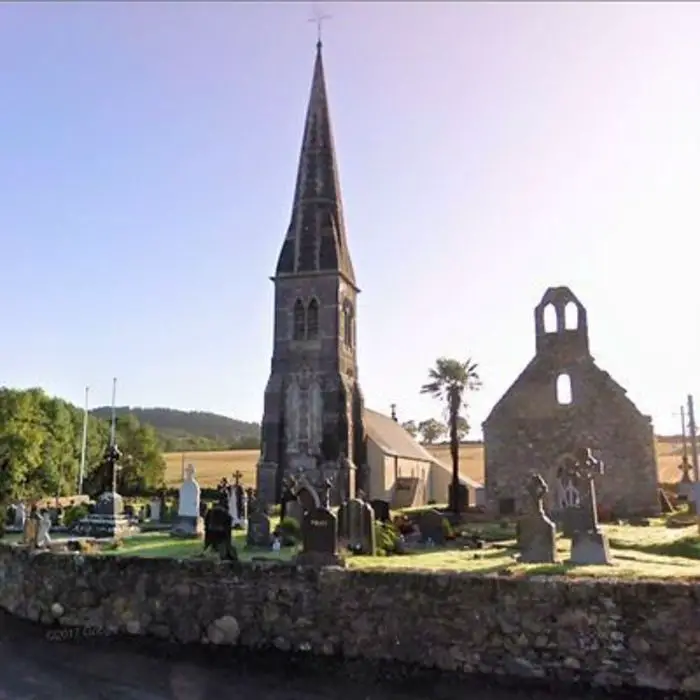 Church in LoughdeheenChurch · 1537 yd
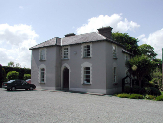 presbytery/parochial/curate's housepresbytery/parochial/curate's house · 1.5 mi
 Mote or TumulusCastle, motte · 1.9 mi
 Fenor BogNature reserve · 2.6 mi
 Ballyscanlon HillMountain / peak · 2.7 mi
 Castle (in ruins)Castle, tower house · 2.7 mi
 St. Martin's WellSpring · 2.7 mi
 Sweet micheliaSweet michelia · 3.4 mi
 Annestown monumentMemorial · 3.5 mi
 Waterford & Suir Valley RailwayHeritage attraction · 3.5 mi