What is recorded here
On rising ground in pasture with good views of Ballyhoura Hills 4.9km to SW. Castle Hill with Oliver's Folly (LI056-034002-) clearly visible 1.6km to SSW. Flat-topped standing stone (H 1.2m x 0.14m x 0.65m) rectangular in plan with long axis orientated N-S located S of disused farm trackway running from Ballinlyna House that is shown on Cassini ed. OSi 6-inch map.
Compiled by: Caimin O'Brien based on details provided by James and Billy O'Brien
Date of upload: 23 September 2021
Probably dates to the early medieval period, given its flat-topped form and location on a prominent landscape feature, which may have had ritual or territorial significance. No specific folklore or use is recorded, but its alignment or viewshed could relate to local traditions or seasonal markers.
The monument record does not grant public access. Check the route and ask the landowner before entering private land.
- What survives
- Recorded monument
Places near here
 Cist in Ballinlyna UpperCist · 376 yd
 Keale MountainMountain / peak · 842 yd
 Gooseberry HillMountain / peak · 1101 yd
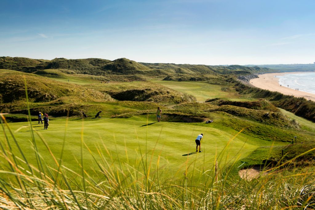 Mound in Ballyroe UpperMound · 1424 yd
 Barrabunocka Bridgebridge · 1.1 mi
 Castle OliverCastle · 1.2 mi
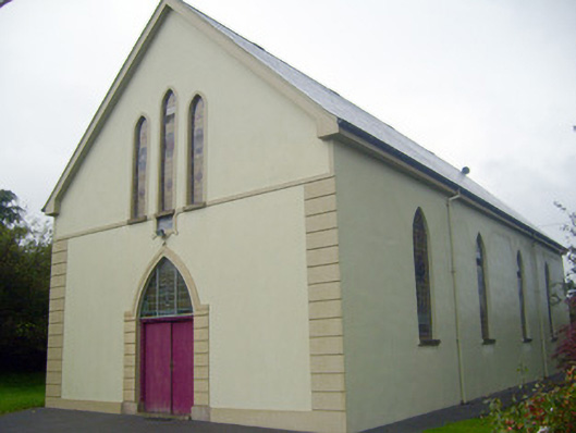 Saint Joseph's Catholic Churchchurch/chapel · 1.4 mi
 ToberpatrickSpring · 1.5 mi
 Treada Na Ríogh (The Moat), hachuredCastle, motte · 1.5 mi
 Ballyhoura WayWalking route · 1.6 mi
 Ballyhoura tourist informationVisitor information · 1.6 mi
 Palatine's RockNamed rock · 1.6 mi