What is recorded here
A large irregular limestone gallán which is almost square in plan at the base but rectangular in elevation. It rises to a height of 3.34m, its maximum width measures 1.35m and it is .95m thick. A large slab lies at the foot of the N face while to the E is a large stone .9m x 4m. According to tradition this stone originally stood elsewhere in the field but was removed to its present position. On the 1841-42 and 1916 OS maps this stone is marked as 'Dallaun'.
The above description is derived from C. Toal, ‘North Kerry Archaeological Survey’. Dingle. Brandon in association with FAS Training and Employment Authority (1995), no. 20. In certain instances the entries have been revised and updated in the light of recent research.
Date of upload: 1 August 2013
Dated to the Late Neolithic or Bronze Age, this standing stone likely functioned as a ritual or territorial marker. No specific folklore or inscriptions are associated with it, though its form is typical of early megalithic traditions in Ireland.
The monument record does not grant public access. Check the route and ask the landowner before entering private land.
- What survives
- Recorded monument
Places near here
 Burnt spread in BallincloherBurnt spread · 431 yd
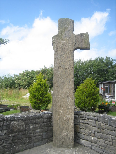 CrossCross, High cross · 1574 yd
 Ballymacaquinn Castle (remains of)Castle · 1.9 mi
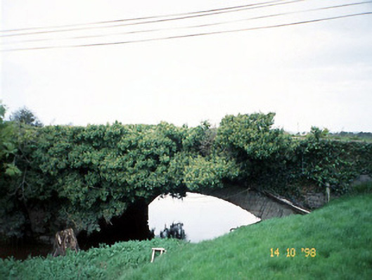 Lixnaw Bridgebridge · 2.3 mi
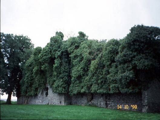 Old Courtcountry house · 2.3 mi
 Kilflynn Nature ReserveNature reserve · 3.6 mi
 Castle (in ruins)Castle, unclassified · 4.0 mi
 Tobar na MoltSpring · 5.1 mi
 Ardfert Franciscan FriaryVisitor information · 5.7 mi
 Ardfert FriaryVisitor information · 5.7 mi
 Pierce's IslandIslet · 5.7 mi
 15th Centenary of the birth of St-BredanMemorial · 6.0 mi