What is recorded here
A single lichen covered stone (1.12m h., 0.8m diam.) located on the crest of high ground with extensive views. Dump of stones around the base and some gradual ground build up due to surrounding intensive agriculture. Traditionally known as the ‘Ho’ or ‘Howe’ stone.
Compiled by: Christine Baker
Date of upload: 23 April 2015
Likely dating to the Late Neolithic or Early Bronze Age, this standing stone may have functioned as a territorial marker, ceremonial focus, or astronomical alignment point. Its isolated position suggests a connection to landscape management or ritual activity, though specific folklore or use remains unrecorded.
The monument record does not grant public access. Check the route and ask the landowner before entering private land.
- What survives
- Recorded monument
Places near here
 Lady WellHoly well · 261 yd
 Enclosure in BalcunninEnclosure · 309 yd
 Flat cemetery in BalcunninFlat cemetery · 501 yd
 Milverton Hallgate lodge · 538 yd
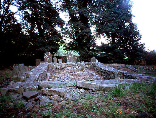 graveyard/cemeterygraveyard/cemetery · 975 yd
 Castle (in ruins)Castle, Anglo-Norman masonry castle · 1597 yd
 Man O'War HillMountain / peak · 1.5 mi
 BBQ AreaPicnic place · 1.5 mi
 CastleCastle, unclassified · 1.5 mi
 Black Hill NurseryWood · 1.6 mi
 Skerries RockMemorial · 1.7 mi
 Ardgillan Castle and DemesneHeritage attraction · 1.8 mi