What is recorded here
This site was excavated (E3502) during 2005 as a part of a complex area know as Site 42-44 of the N11 Gorey to Arklow link. An extensive area (dims. 250m N-S 48-60m E-W) across the road-take was excavated, but geophysical survey indicates that activity extended outside this to the E, W and SW. Situated on the lower NW-facing slope of Ask Hill.
This is at the extreme NW part of the excavated area. A feldspathic tuff stone with a rectangular cross-section (dims. c. 0.75m x c. 0.5m; H 1m) was excavated and found to have been prised from an underlying glacial erratic and wedged upright with waste from a dressing with iron tools. (Stevens 2008a, 392-3; 2008, 44-6)
Compiled by: Michael Moore
Date of upload: 16 March, 2012
The monument record does not grant public access. Check the route and ask the landowner before entering private land.
- What survives
- Recorded monument
Places near here
 Enclosure in AskEnclosure · 91 yd
 Structure in AskStructure · 136 yd
 Kiln in ToberduffKiln · 390 yd
 post boxpost box · 1.0 mi
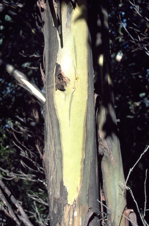 Johnston's gumJohnston's gum · 1.5 mi
 Curragh WoodWood · 1.6 mi
 CastleCastle, unclassified · 1.6 mi
 Tara HillMountain / peak · 1.9 mi
 Kia Ora Mini FarmHeritage attraction · 2.3 mi
 Laraheen HillMountain / peak · 2.6 mi
 Market HouseHeritage attraction · 2.8 mi
 1798 MonumentMemorial · 3.1 mi