What is recorded here
A standing stone once rose in an undulating field on the west bank of the Laune river, marked as Gallaun on early maps. It has vanished without a trace, leaving behind only the memory of a stone that likely watched boats pass or marked a boundary now forgotten.
This site, marked as ‘Gallaun’ on the first edition of the OS map, no longer survives. It was situated in an undulating field on the W bank of the Laune river.
The above description is derived from A. O'Sullivan and J. Sheehan (compilers), 'The Iveragh peninsula: an archaeological survey of South Kerry'. Cork University Press (1996), no. 222. In certain instances the entries have been revised and updated in the light of recent research.
Date of upload: 28 July 2013
The monument record does not grant public access. Check the route and ask the landowner before entering private land.
- What survives
- Recorded monument
Places near here
 CaveMan-made underground passage · 622 yd
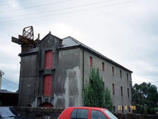 store/warehousestore/warehouse · 897 yd
 King Puck statueMemorial · 905 yd
 bridgebridge · 935 yd
 CastleCastle, tower house · 1004 yd
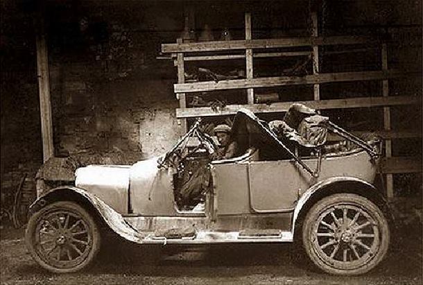 Ballykissane Tragedy Wall of RemembranceMonument · 1188 yd
 Cloon IslandIsland · 1.3 mi
 Clash IslandIslet · 1.7 mi
 Ballymalis Castle (in ruins)Castle, tower house · 3.8 mi
 Kerry Bog VillageHeritage attraction · 4.7 mi
 KnockbrackMountain / peak · 4.8 mi
 The Kerry Creamery ExperienceHeritage attraction · 4.8 mi