What is recorded here
Ardeevin holds a one-metre stone on a hill above Lough Eske, set in good land rather than forgotten waste. Davies also wrote of a pear-shaped platform beside it, suggesting the place may have been made for gathering, marking or ceremony. However much of that shape has faded, the stone still stands where the land and water can both be seen.
A standing stone c. 1m high × 0.5m wide; N-S. It stands on top of a low, probably natural, mound. A previous account (Davies) noted that the stone was also standing near the SW edge of a 'pear shaped artificial platform about 1 foot high and 10 × 6 yards'. Situated in good land on top of a hill overlooking Lough Eske.
The above description was derived from the 'Archaeological Survey of County Donegal. A description of the field antiquities of the County from the Mesolithic Period to the 17th century.' Compiled by: Brian Lacey with Eamon Cody, Claire Cotter, Judy Cuppage, Noel Dunne, Vincent Hurley, Celie O'Rahilly, Paul Walsh and Seán Ó Nualláin (Lifford: Donegal County Council, 1983). In certain instances the entries have been revised and updated.
Date of upload: 22 September 2008
Likely dating to the Bronze Age, the stone's alignment and position on a mound suggest ritual or ceremonial significance. Its placement near an artificial platform may indicate a broader ritual landscape, though specific folklore or use remains unrecorded.
The monument record does not grant public access. Check the route and ask the landowner before entering private land.
- What survives
- Recorded monument
Places near here
 Enclosure in ArdeevinEnclosure · 395 yd
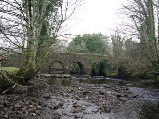 Tawnawully Bridgebridge · 1148 yd
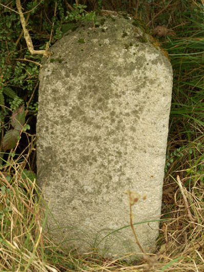 milestone/milepostmilestone/milepost · 1400 yd
 IndicatedBawn · 1.0 mi
 The Ring, Leghawny Stone EnclosureEnclosure · 1.4 mi
 Benson's HillMountain / peak · 1.6 mi
 Old CastleCastle, tower house · 1.8 mi
 Ard na Mona WoodOfficial walking route · 1.9 mi
 Ardnamona Nature ReserveNational nature reserve · 2.3 mi
 Banagher HillMountain / peak · 3.2 mi
 Donegal Railway Heritage CentreMuseum · 4.3 mi
 Donegal CastleMuseum · 4.4 mi