What is recorded here
An irregular standing stone rises ninety-eight centimetres in pasture west of a ringfort, its long edge aligned east to west like a quiet pointer across the grass. It may have marked a boundary, a burial, or a promise made under open sky, yet no human hand has touched it for centuries. The stone remains present, waiting for someone to remember why it was set free from the earth.
In pasture to W of ringfort (CO093-06602-). Irregular stone aligned E-W (H 0.98m; 1.30m x 0.44m).
The above description is derived from the published 'Archaeological Inventory of County Cork. Volume 1: West Cork' (Dublin: Stationery Office, 1992). In certain instances the entries have been revised and updated in the light of recent research.
Date of upload/revision: 14 January 2009
The monument record does not grant public access. Check the route and ask the landowner before entering private land.
- What survives
- Recorded monument
Places near here
 Togher CastleCastle, tower house · 737 yd
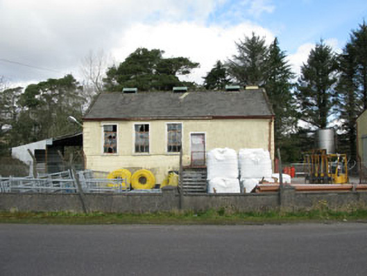 Togher Creamerycreamery · 1043 yd
 Keenrath Bridgebridge · 1.0 mi
 Wedge tomb in KeenrathWedge tomb · 1.1 mi
 Man-made underground passage in KeenrathMan-made underground passage · 1.2 mi
 Funmanway Adventure LandHeritage attraction · 2.3 mi
 Mount GunneryMountain / peak · 2.4 mi
 Gortnahoughtee Mass RockNamed rock · 2.5 mi
 Mount ProspectMountain / peak · 3.2 mi
 Graveyard in Dunmanway NorthGraveyard · 3.6 mi
 Castle (Site of)Castle, Anglo-Norman masonry castle · 3.6 mi
 Dunmanway Heritage CentreVisitor information · 3.6 mi