What is recorded here
Standing stone in An Bearnas Íochtarach is a 1.3m high stone on wettish level land in County Donegal, Ireland. It stands alone in a sparse place, the kind of spot where people once walked past without thinking it strange. Its age is unknown, but its shape suggests human hands or long rain and wind. It may have marked a boundary, a road or a forgotten ceremony.
A standing stone 1.3m high and..4m × 0.36m in plan. Situated on fairly level, wettish land.
The above description was derived from the 'Archaeological Survey of County Donegal. A description of the field antiquities of the County from the Mesolithic Period to the 17th century.' Compiled by: Brian Lacey with Eamon Cody, Claire Cotter, Judy Cuppage, Noel Dunne, Vincent Hurley, Celie O'Rahilly, Paul Walsh and Seán Ó Nualláin (Lifford: Donegal County Council, 1983). In certain instances the entries have been revised and updated.
Date of upload: 22 September 2008
Likely dating to the Neolithic or Early Bronze Age, this standing stone may have had ritual or territorial significance. No specific folklore or detailed use is recorded for the site.
The monument record does not grant public access. Check the route and ask the landowner before entering private land.
- What survives
- Recorded monument
Places near here
 AltarAltar · 101 yd
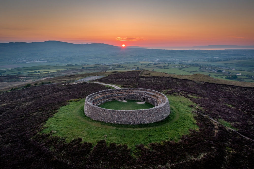 An Ghabhail Stone Ringfort and Man-made underground passageFairy fort / stone ringfort · 1179 yd
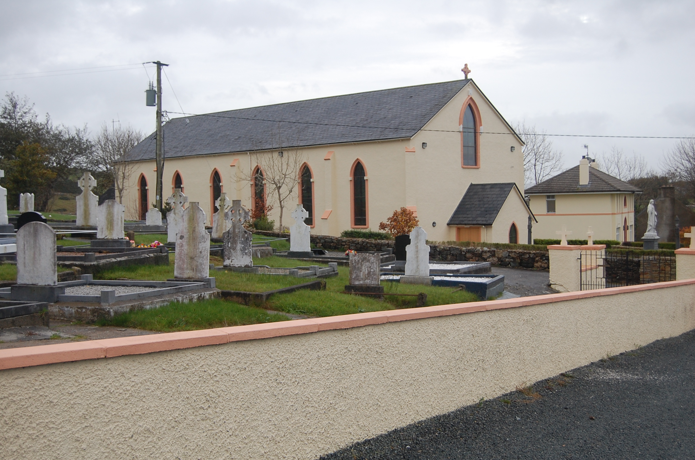 Saint Columba's Catholic Churchchurch/chapel · 1.2 mi
 Loughsalt MountainMountain / peak · 2.1 mi
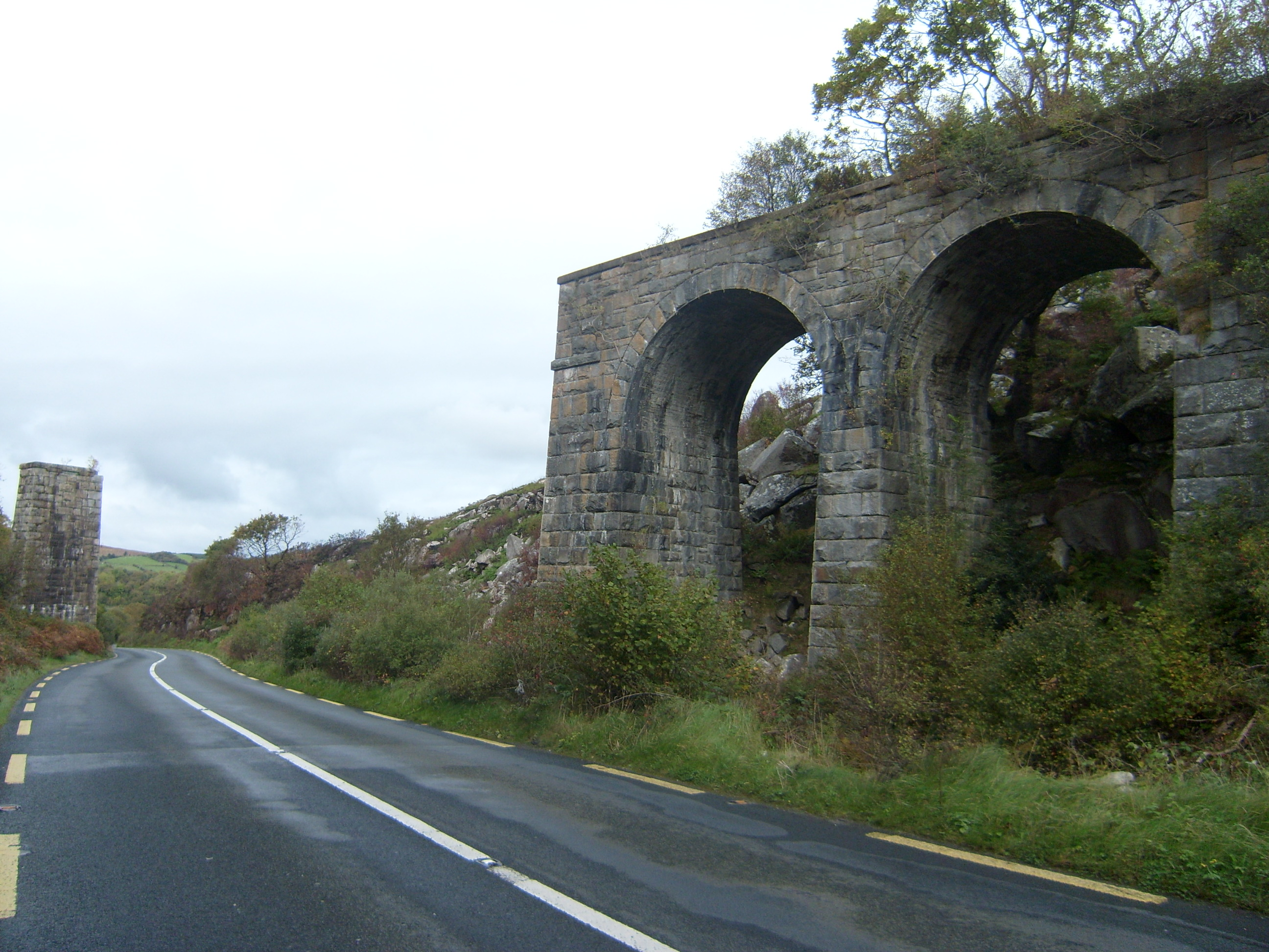 viaductviaduct · 2.2 mi
 Master Sword in StoneHeritage attraction · 2.6 mi
 Silver BirchSilver Birch · 2.7 mi
 Castle (Site of)Castle, unclassified · 3.1 mi
 BallykeeranForest recreation place · 3.7 mi
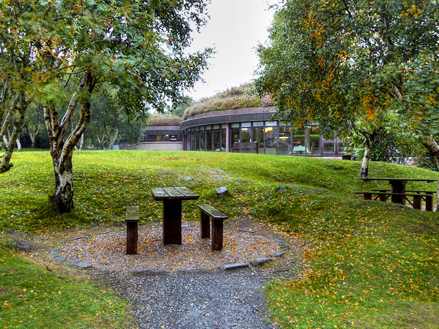 Glenveagh National Park Visitor CentreVisitor information · 4.3 mi
 Bracken IslandIslet · 4.8 mi
 Craw IslandIslet · 4.9 mi