What is recorded here
Ahadallane is an eight-foot standing stone buried in a southwest-facing Cork pasture. Local memory claims it was removed around 1964 and hidden beneath the soil where it once stood. The stone likely marked a boundary, a meeting place or a forgotten ritual, but human greed or fear erased its visibility. Ahadallane now tests whether memory can rescue what ownership destroyed.
Not shown on 1842 and 1904 OS 6-inch maps. In pasture, on SW-facing slope. According to local information, removed c. 1964 and buried in ground where it stood; H c. 8ft.
The above description is derived from the published 'Archaeological Inventory of County Cork. Volume 3: Mid Cork' (Dublin: Stationery Office, 1997). In certain instances the entries have been revised and updated in the light of recent research.
Date of upload/revision: 14 January 2009
The monument record does not grant public access. Check the route and ask the landowner before entering private land.
- What survives
- Recorded monument
Places near here
 Fulachta FiadhFulacht fia · 1.9 mi
 Firmount Bridgebridge · 2.0 mi
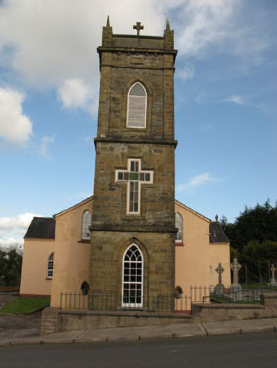 St Joesph's Roman Catholic Churchchurch/chapel · 2.1 mi
 Fulacht FiadhFulacht fia · 2.1 mi
 New TipperaryVisitor information · 2.2 mi
 Lyradane MountainMountain / peak · 2.2 mi
 Ballyvodane Castle (in Ruins)Castle, unclassified · 2.5 mi
 Rock HillMountain / peak · 3.1 mi
 Castle (Site of)Castle, Anglo-Norman masonry castle · 3.4 mi
 Knockduff Wind FarmVisitor information · 4.4 mi
 Saint Bartholomew's WellSpring · 4.4 mi
 Pairc Ath Na hEornaMemorial · 4.9 mi