What is recorded here
Cloghavuska stands in Carrickawick today, though no human hand is recorded as having set it. That absence is not a gap, but a clue: the stone may have been born through frost, pressure and time, wearing the shape of human intention because the body knows that shape. What looks like a forgotten monument may be a natural form misread through pride.
The official Northern Ireland record identifies this as STANDING STONE: CLOGHAVUSKA. Recorded period: PREHISTORIC; UNCERTAIN. The official map point was placed at the centre of the recorded archaeological site from the source map reference.
Likely dating to the Neolithic or Bronze Age, this standing stone may have served a ceremonial, astronomical, or territorial function. No specific folklore or detailed use is recorded for Cloghavuska.
The monument record does not grant public access. Check the route and ask the landowner before entering private land.
- What survives
- Recorded monument
Places near here
 ENCLOSURE in EshmeenENCLOSURE · 1629 yd
 Bunnisnagapple ForestForest · 1.5 mi
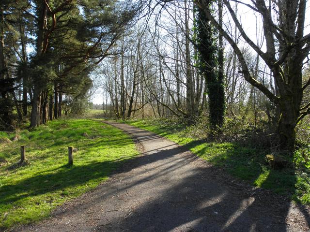 Doon ForestForest · 1.7 mi
 EschleaghMountain / peak · 1.8 mi
 ENCLOSURE in CrockadreenENCLOSURE · 2.2 mi
 IRA MemorialMemorial · 2.8 mi
 LismaloreRuins · 3.3 mi
 Lady Brooke Memorial HallHall · 3.4 mi
 The Station House, BrookeboroughHeritage attraction · 3.5 mi
 Rathmoran CastleRuins · 3.6 mi
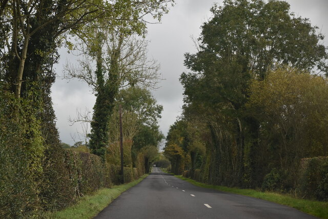 Mount DarbyMountain / peak · 3.8 mi
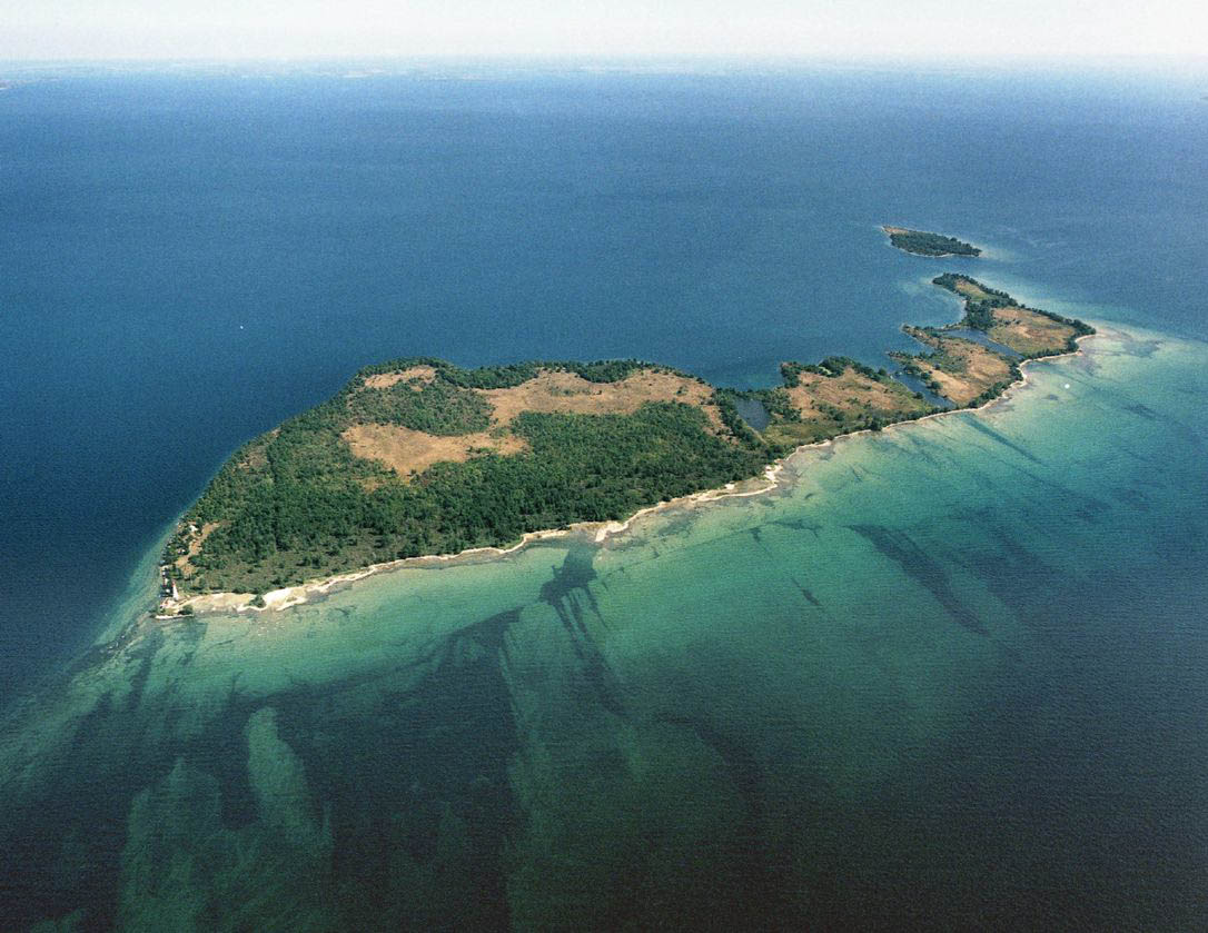 Duck IslandIslet · 4.2 mi