What is recorded here
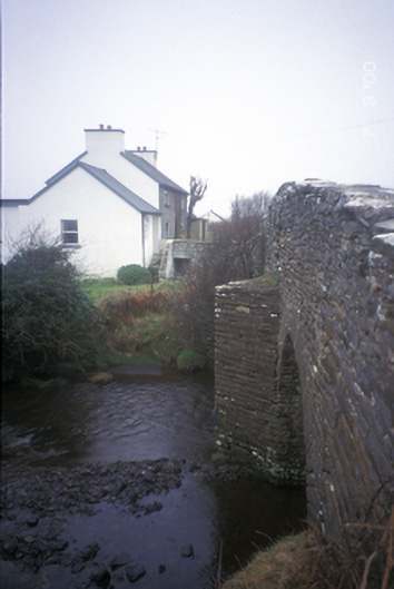
Double-arch humpback road bridge over river, built c. 1820, with V-cutwaters and pedestrian refuge. Coursed rubble stone walls with cut-stone copings and voussoirs.
This does not grant access. Most recorded buildings are privately owned; view them only from public ground unless the owner allows entry.
Places near here
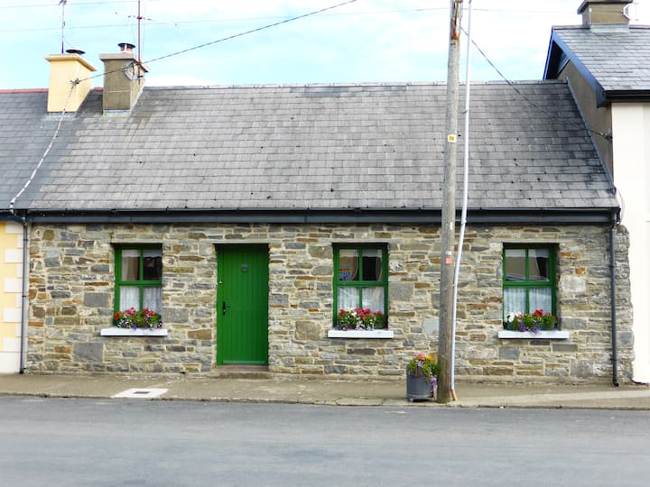 CloghaunclooneenFairy fort / earthen ringfort · 285 yd
 ToberlaughteenHoly well · 707 yd
 Bealaclugga Bridgebridge · 1514 yd
 Spanish Point BeachBeach / strand · 1.1 mi
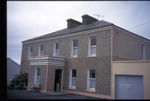 Fulford Househouse · 1.1 mi
 Spanish PointVisitor information · 1.2 mi
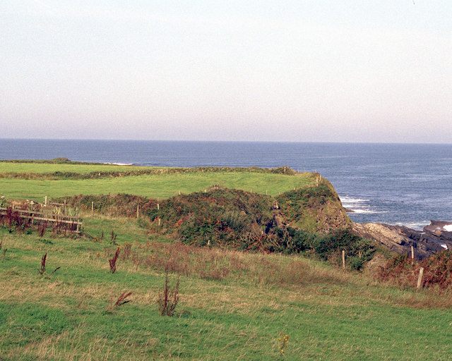 Caherrush Castle (in Ruins)Castle, tower house · 1.8 mi
 Knockanalban Castle (Site of)Castle, unclassified · 1.9 mi
 Emlagh PointHeadland · 2.0 mi
 Kilcorcoran Grave YardArchaeological place · 2.4 mi
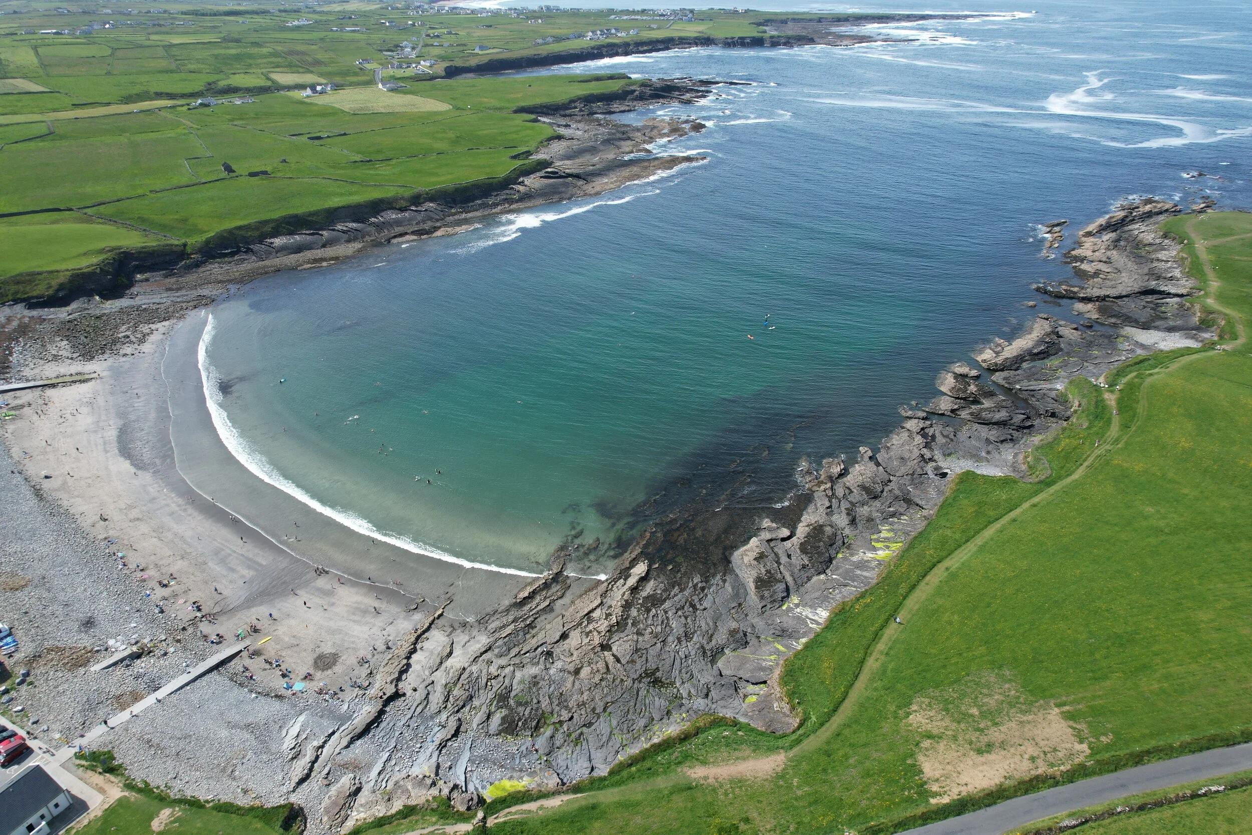 White StrandBeach / strand · 2.6 mi
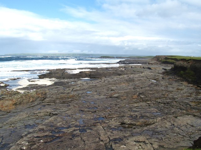 Cream PointHeadland · 2.7 mi
Other information
Photo: National Inventory of Architectural Heritage · Website use allowed for educational or private purposes with source credit